About Delgany
Delgany, Deilgne in Irish, is a village in County Wicklow, 27 km south-east of Dublin. It stands on the N11, L5540 and R761. The map gives it 3,864 buildings and 140 named streets, with 53 places named on them in 46 kinds, and 133 things to see in and around it. By the number of buildings on the map it is the 5th largest of the 45 settlements this site covers in County Wicklow.
- Where
- 27 km south-east of Dublin
- Position
- 53.1326° N, 6.0922° W, 51 m above sea level
- Roads
- N11, L5540, R761, R762, R774, L1025, L1027 and L1030
- Governed
- Wicklow County Council, in the province of Leinster
- On the model
- 3,864 buildings, 140 streets, 53 named places in 46 kinds


County Wicklow since 1841
Every census of the county, which is the only way to see what happened to rural Ireland: the fall from the Famine runs for a century, and the recovery is recent.
Source: Central Statistics Office, table F1001 'Population at Each Census', read through the PxStat API, read 2026-09-20.
What to see
Closest to the centre first, with how far each one is.
- Delgany Heritage Trail70 mInformation boards
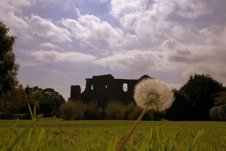
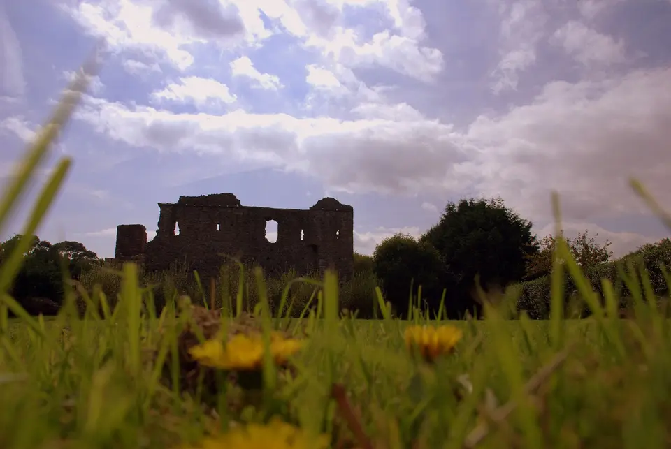
- Kindlestown Castle970 mCastles
- St. Mary's Church1.3 kmHistoric churches
- Glen of the Downs1.7 kmNature reserves
- The Octagon1.7 kmRuins
- Forest Operations at Kindlestown1.8 kmInformation boards
- Kindlestown Hill1.9 kmHills
- Shoreline Leisure Charlesland Playground2.2 kmPlaygrounds
- GCC Garden2.2 kmGardens
- Burnaby Park2.4 kmParks
- Downs Hill2.5 kmHills
- Greystones South Beach2.5 kmBeaches
Getting around
The map records the N11, L5540, R761, R762, R774, L1025, L1027 and L1030 running through Delgany. 10 car parks on the map.
7 lines call at 39 stops here. Plan a journey for the day and time you are going.
3 school or colleges on the map: St. Laurence's NS, Delgany National School and Greystones Community National School.
Questions people ask
Where is Delgany?
How big is Delgany?
What is there to see in Delgany?
How do you get to Delgany?
Has County Wicklow grown or shrunk?
Buildings, streets, places, roads and position are OpenStreetMap, counted by this site rather than quoted from anywhere. Population, elevation, area and twinning are structured claims on Wikidata (item Q2113073). County population is the Central Statistics Office. Journeys are the National Transport Authority’s published timetable. Every sentence on this page is written from those numbers; none of it is copied from a description of the place.