.jpg)
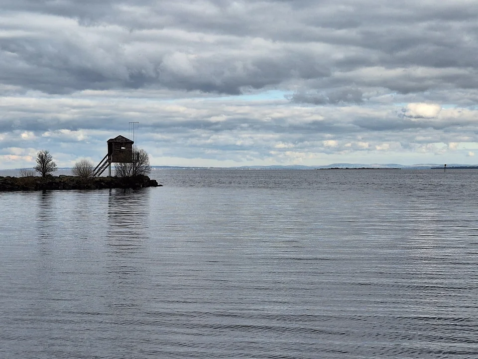
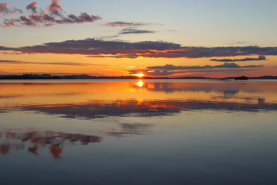
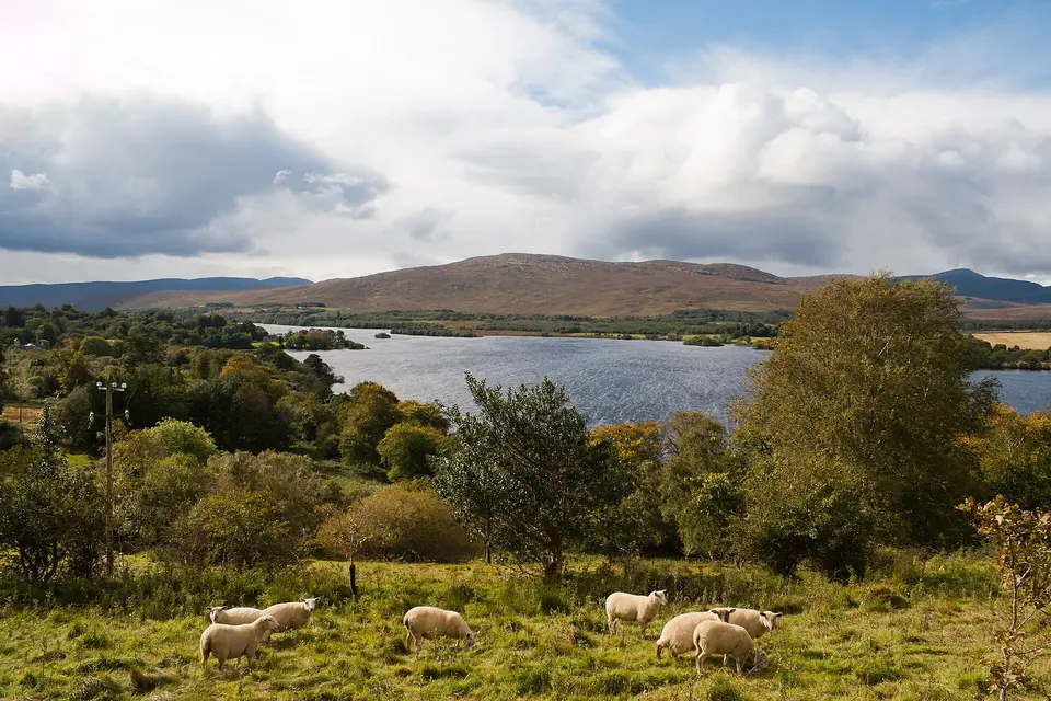
Spockyippee, CC BY-SA 4.0 via Wikimedia Commons
3,149 named lakes, with measured outlines and nearby places to explore. 1,486 have a mapped road or path within sixty metres of the shore. Check the lake page for recorded access and any visiting restrictions.
Share your position and the closest lakes in the country are sorted for you. Your position is used in this browser to sort the list, and is not sent anywhere for that. Asking for directions is the exception: both ends of a route are needed to work one out, so they go to this site, in the body of the request rather than in the address, and the reply is marked not to be stored.
Explore all 3,149 lakes on the map. Each pin sits at the main access point on the shore where one is recorded, or on the lake itself. Choose a pin to open its page.
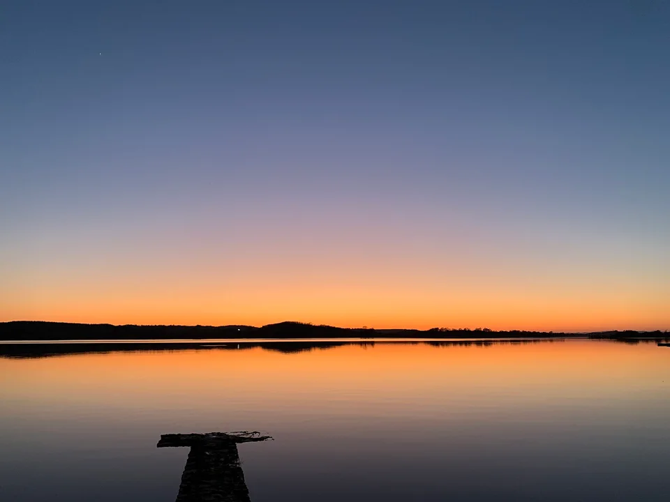
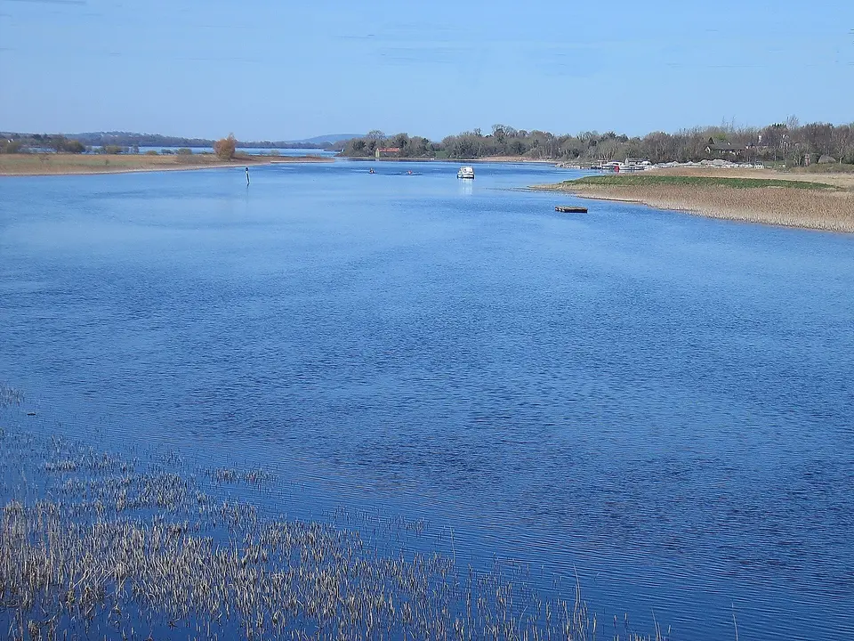
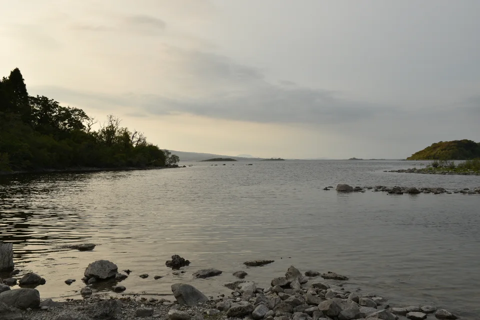
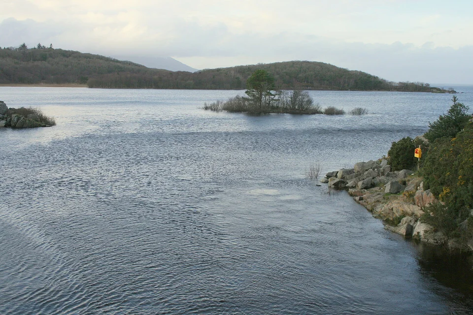
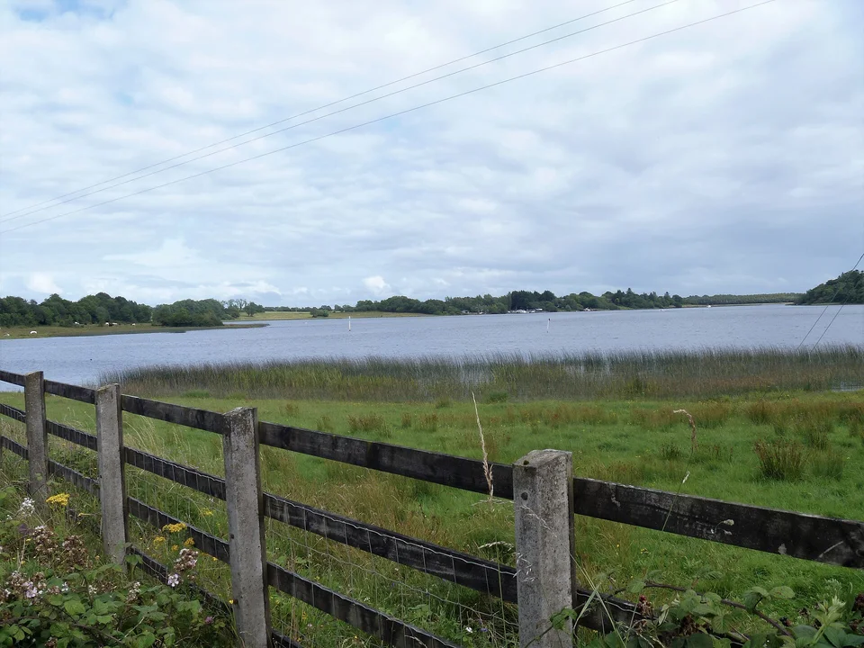
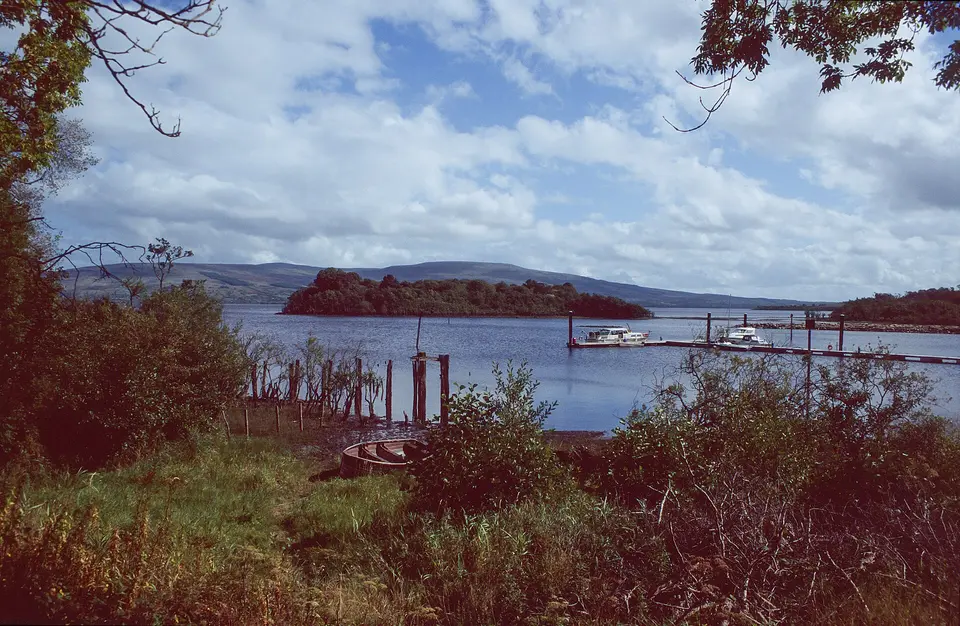
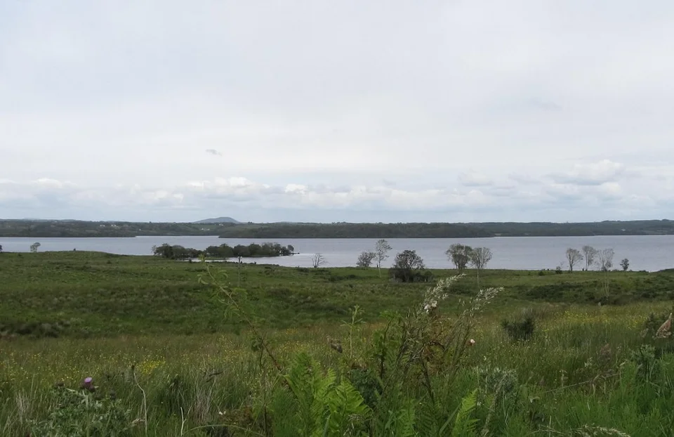
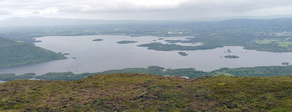
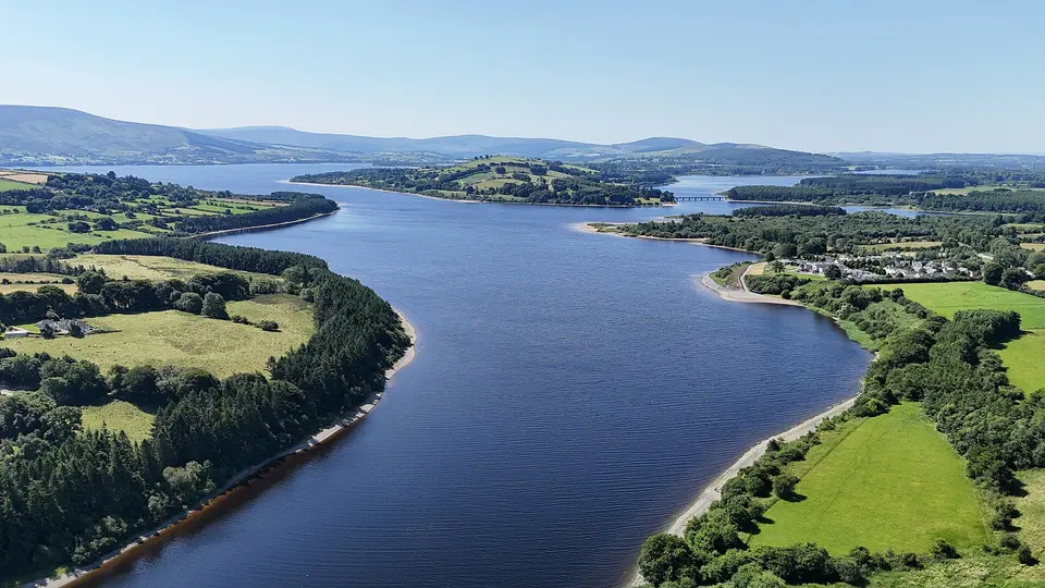
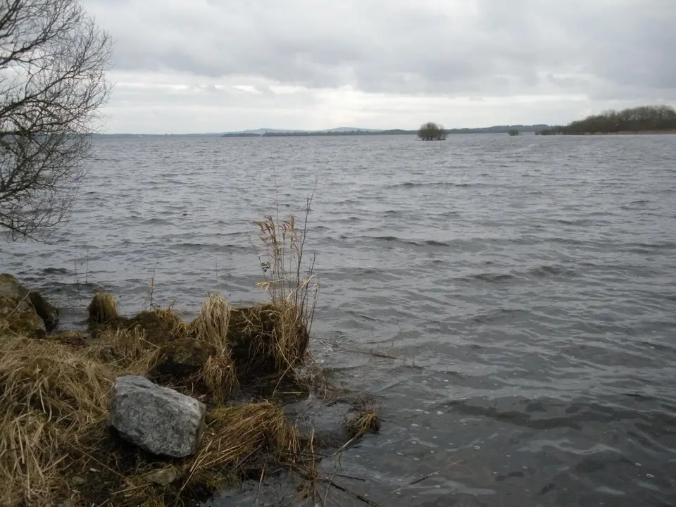
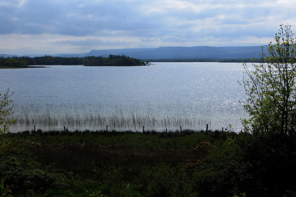
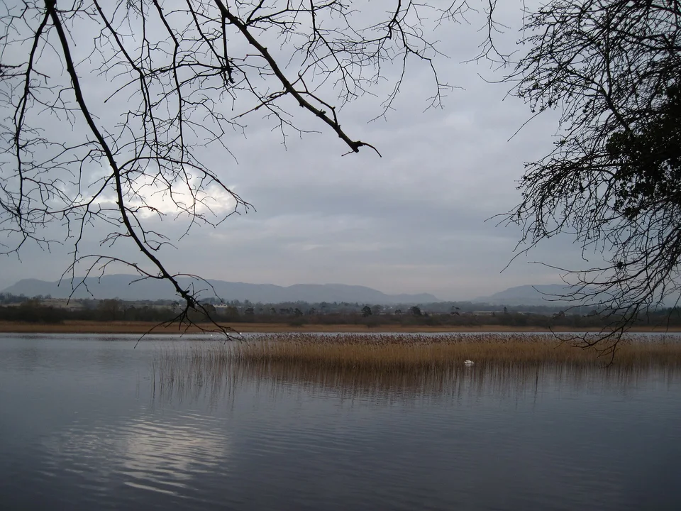
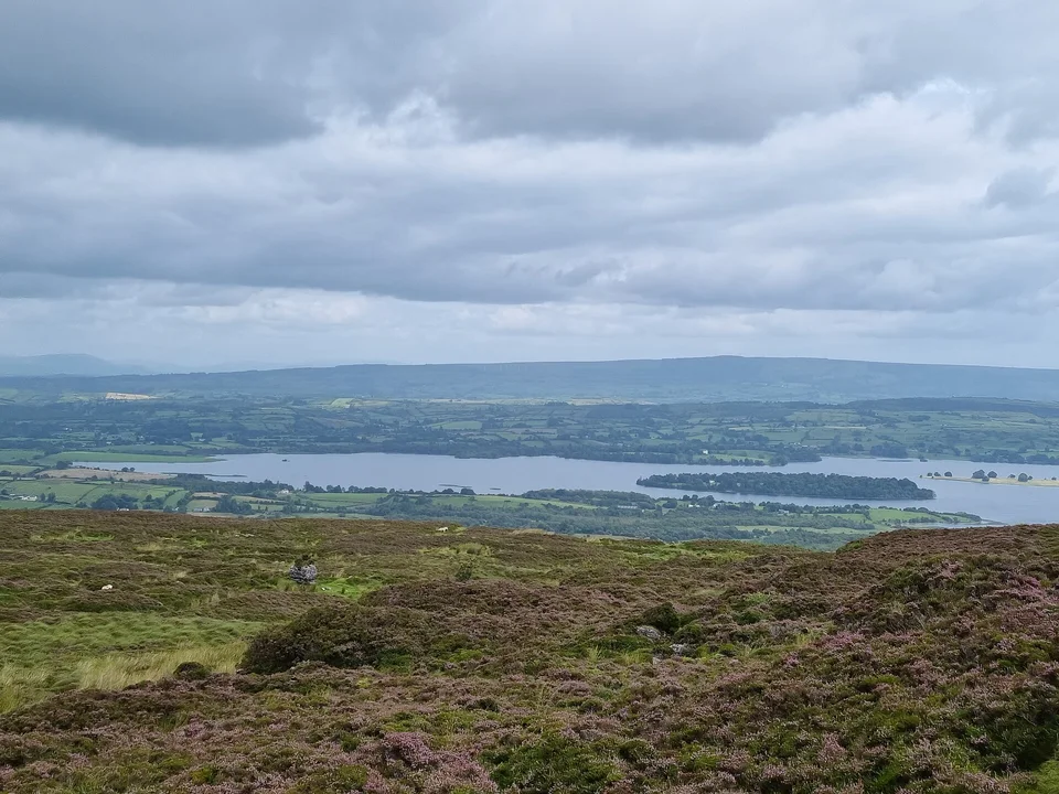
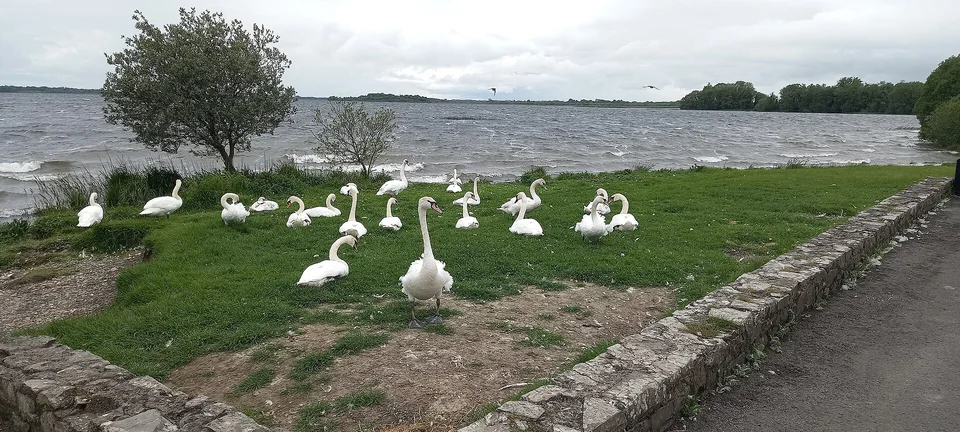
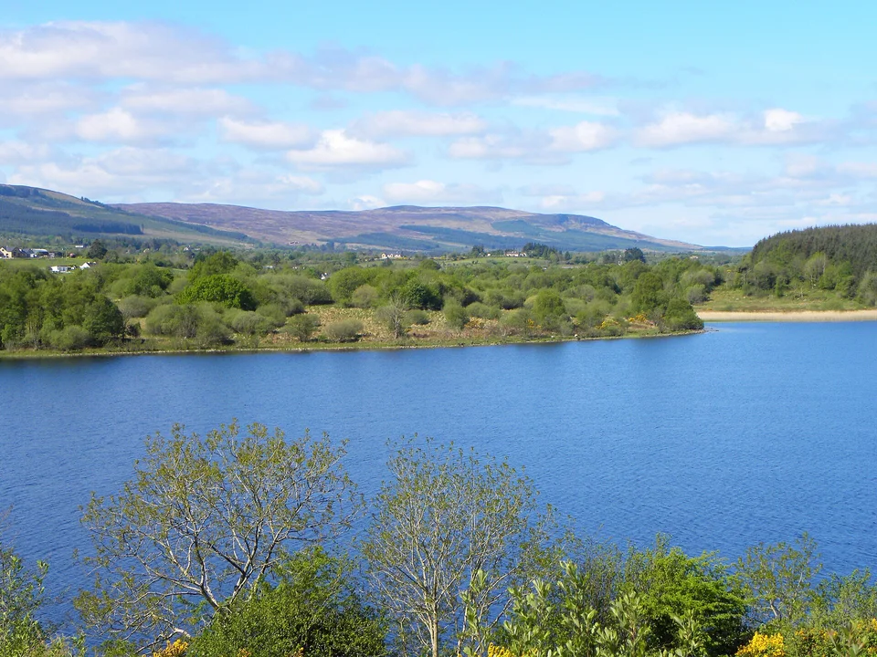
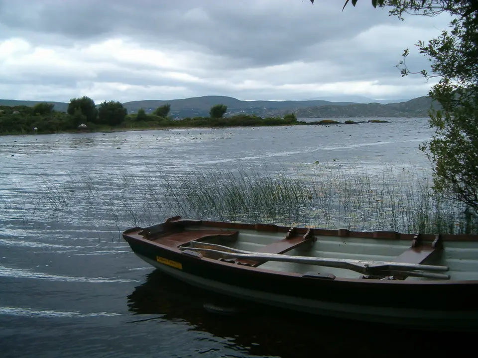
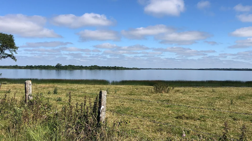
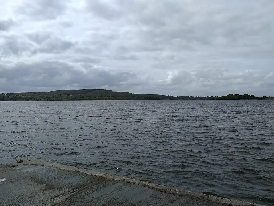
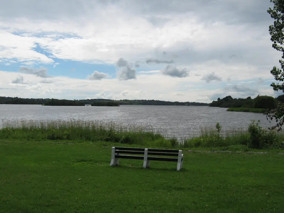
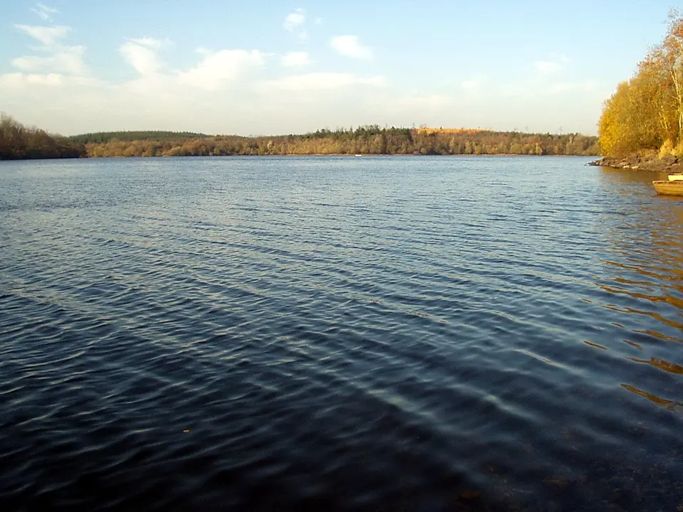
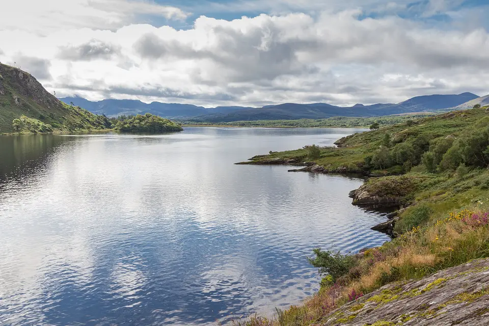
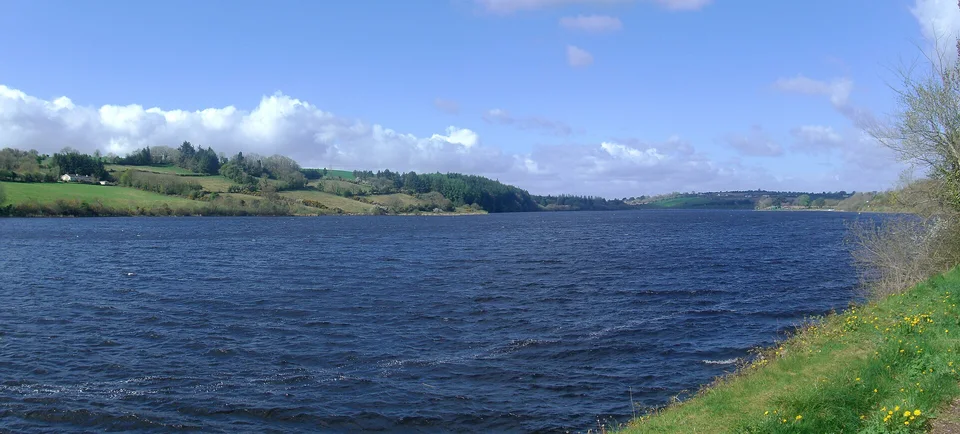
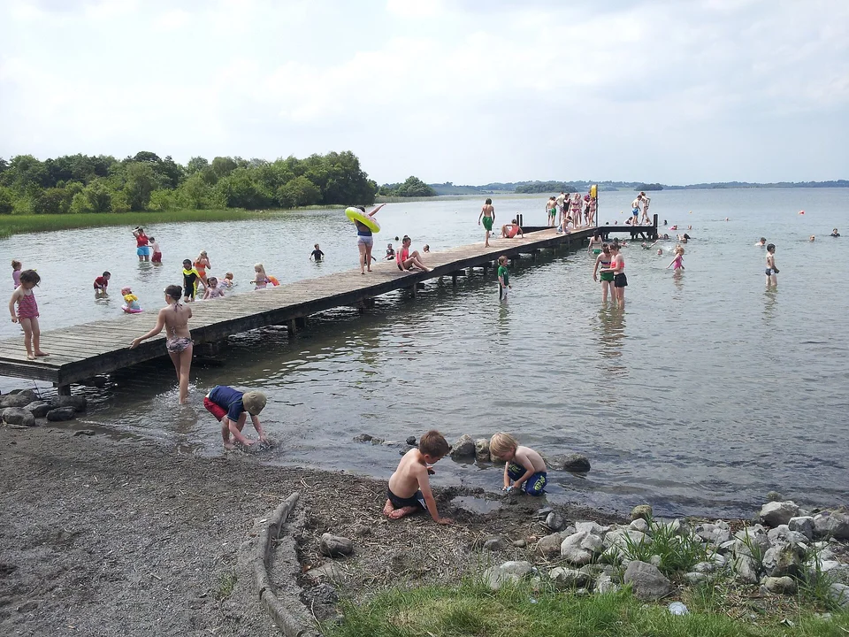
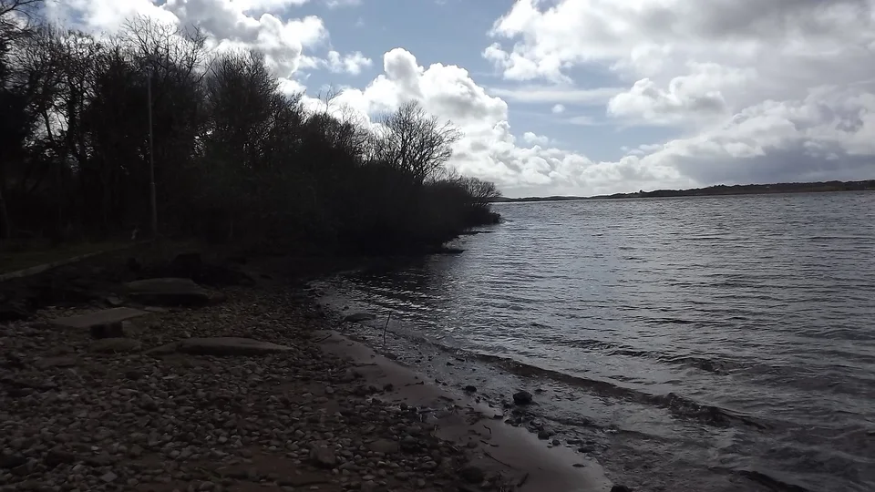
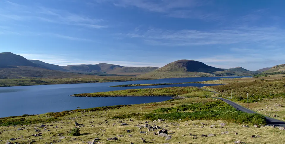
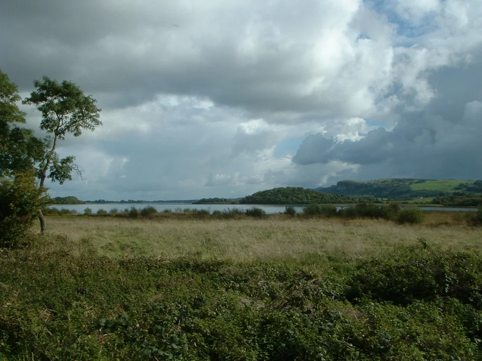
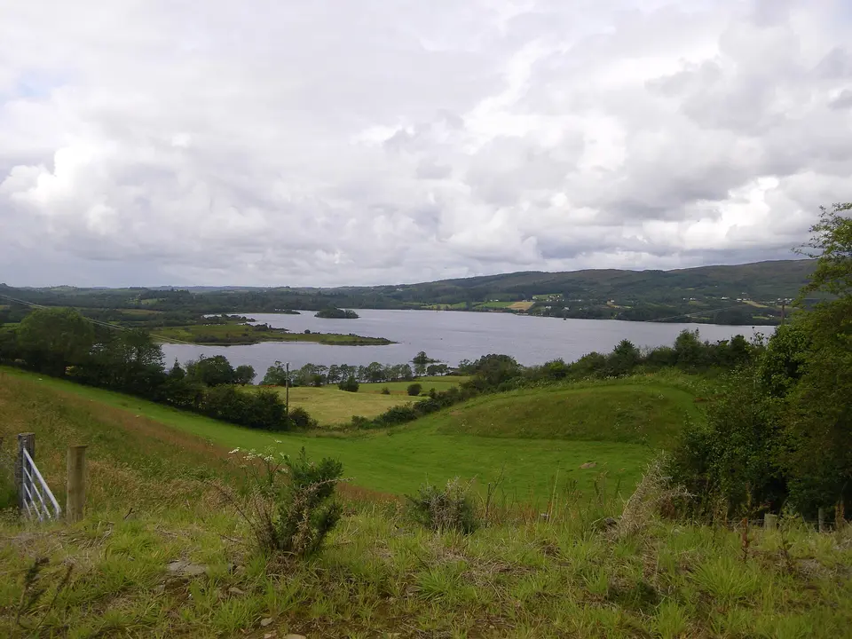
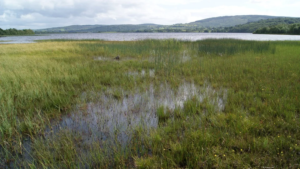
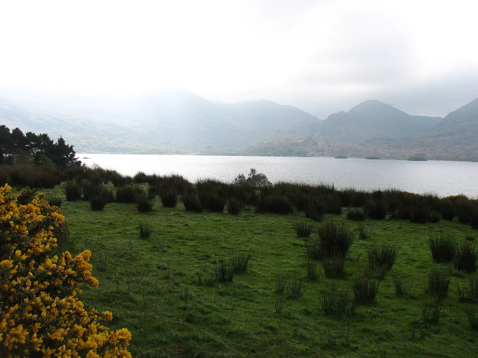
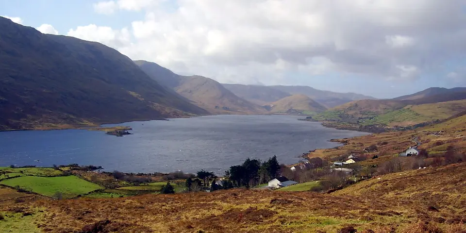
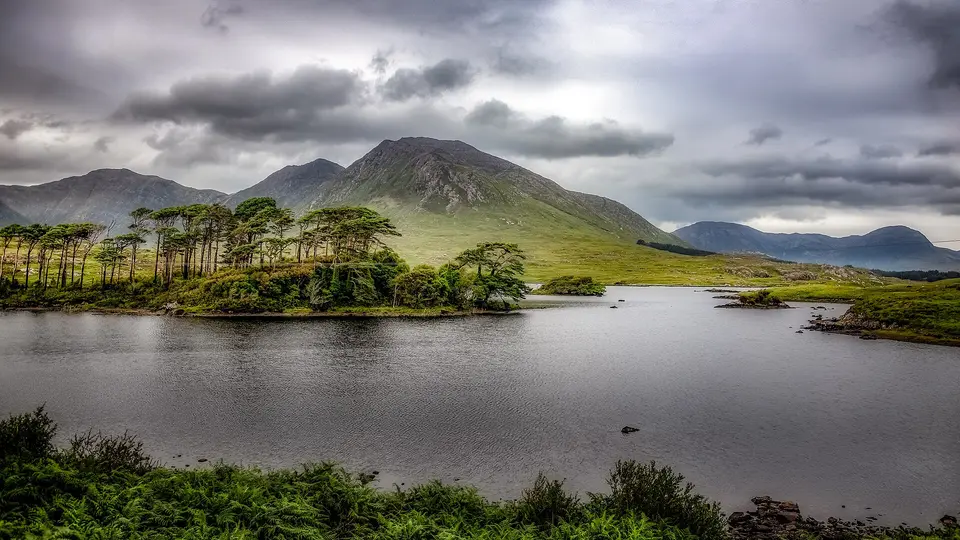
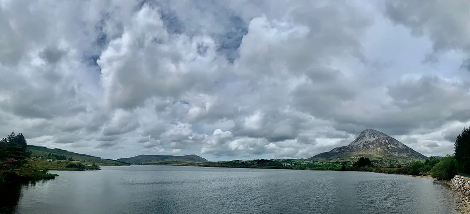
County lists use the county containing the lake's mapped centre. A lake crossing a county boundary appears once, and lakes without an assigned county remain in the national list.
Outlines, names and identifiers are OpenStreetMap records. Areas, shore lengths, access points, routed walks and every distance here are this site’s own measurements from those records, last built on 2026-09-20. Where a page states what an owner or a council allows, it names them and the day somebody read their page.


_-_geograph.org.uk_-_5518915.jpg)


![[Piotr Miskowicz]](https://commons.wikimedia.org/wiki/File:Lough_Sheelin_as_seen_from_Sailors_Garden_1.jpg)


