Chapel Lake
Chapel Lake covers 3 ha with 740 m of shore in County Cork, 870 m south-west of Dunmanway.
A public road or path on the map comes within 10 m of the shore, along about 250 m of it, and there are 2 more stretches like it elsewhere on the shore. That is what the map contains. It is not a statement that the public may walk there, because OpenStreetMap does not record permission, and nobody has checked this lake against its owner.
- Area
- 3 ha measured from the mapped outline
- Shore
- 740 m around the outline
- County
- County Cork
- Public access
- A public way reaches the shoreMeasured from the map, not from a statement of permission
- On the map
- OpenStreetMap record
No openly licensed photograph of Chapel Lake was found. Rather than show a picture of somewhere else, this page shows none.
Where it is
The pin sits from the main access point on the shore, and every distance on this page is measured from that same point. The other pins are the nearest lakes in County Cork.
Parking, viewpoints and stops
Everything here is measured from the main access point on the shore. A viewpoint is a place that looks at the lake, which is not the same as a place on it.
An unnamed car park is 200 m away, and the walk from it to the shore is 260 m along mapped paths. The map records it as free.
None mapped within 2.5 km.
- An unnamed stop30 m
- Chapel Lake40 m
- An unnamed stop510 m
- Dunmanway850 m
Getting to Chapel Lake
About these directions
Public transport times come from National Transport Authority. Timetables cover 2026-09-18 to 2027-09-19. These are scheduled services; check with the operator for cancellations and changes before travelling.
Walking and driving times are estimates. A town search starts at its centre; choose your location or a point on the map for a more precise starting point. Eircode search is not available.
How journey planning worksDestination, access and nearby stops
Chapel Lake is in Dunmanway, County Cork. Routes here end at the stretch of shore a public way reaches, which this site measured on the ground. A car park is recorded 262 m from the water, about 3 minutes on foot.
The nearest scheduled stop is Dunmanway Lake (214971), 30 m away in a straight line. Use the planner to check walking connections for your journey.
- Dunmanway Lake 30 m
bus 236Scheduled departures from this stop
- Dunmanway North 480 m
bus 236Scheduled departures from this stop
- Dunmanway 820 m
buses 236 and 229Scheduled departures from this stop
- Dunmanway South 1.1 km
bus 236Scheduled departures from this stop
Getting to Dunmanway covers the journeys into the town itself.
The nearest other lakes
Ordered by distance from the main access point on the shore, in a straight line, which is the same point and the same measure as the figures beside them.
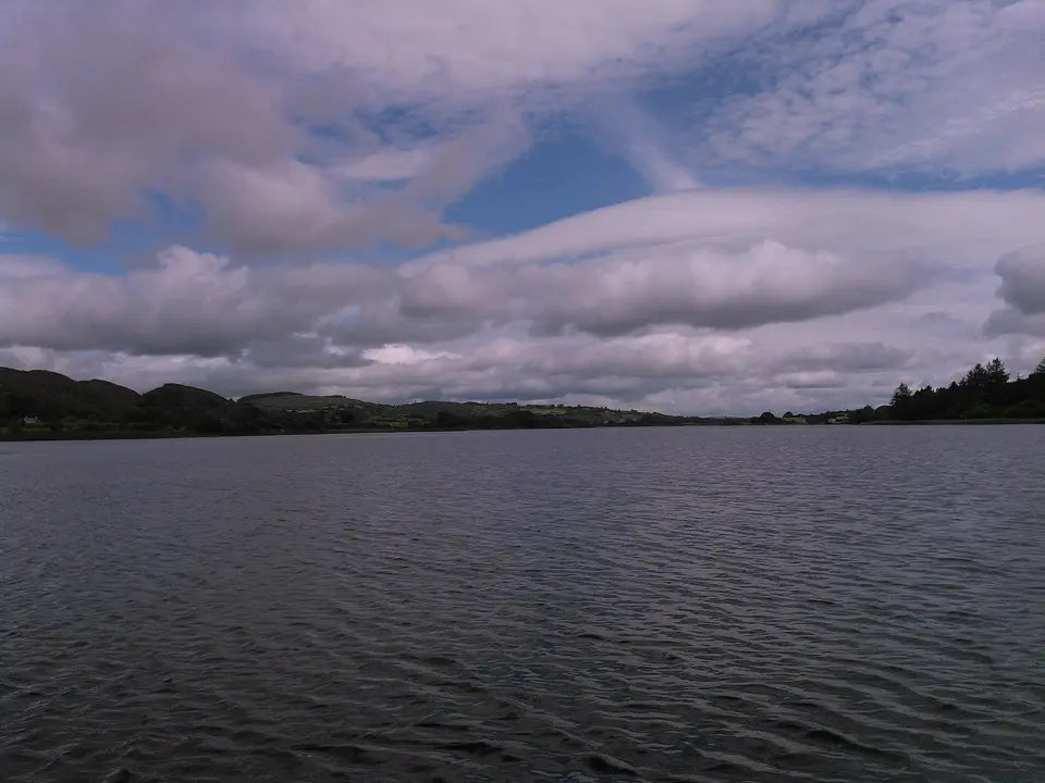 Towel401, CC BY-SA 4.0 via Wikimedia Commons

Questions people ask
Can you walk to Chapel Lake?
How big is Chapel Lake?
Where can you park for Chapel Lake?
How do you get to Chapel Lake without a car?
Where this comes from
- The lake itself
- The outline, the name and the identifiers are OpenStreetMap records, 2 of them merged here into one lake. Correct it there
- What this site measured
- The area and the shore are worked out from that outline. The stretches of shore a way reaches, the walk in from a car park and every distance on this page are worked out here, on this site’s own graph of the OpenStreetMap ways, last built on 2026-09-20. These are this site’s calculations, not the map’s, and a mistake in them is a mistake here.