About Kill
Kill, An Chill in Irish, is a village in County Kildare, 25 km south-west of Dublin. It stands on the N7, L2007 and L2010. The map gives it 2,035 buildings and 21 named streets, with 19 places named on them in 30 kinds, and 162 things to see in and around it. By the number of buildings on the map it is the 15th largest of the 54 settlements this site covers in County Kildare.
- Where
- 25 km south-west of Dublin
- Position
- 53.2487° N, 6.5892° W, 61 m above sea level
- Area
- 1.1 km²
- Roads
- N7, L2007, L2010, L2020 and L6032
- Governed
- Kildare County Council, in the province of Leinster
- On the model
- 2,035 buildings, 21 streets, 19 named places in 30 kinds
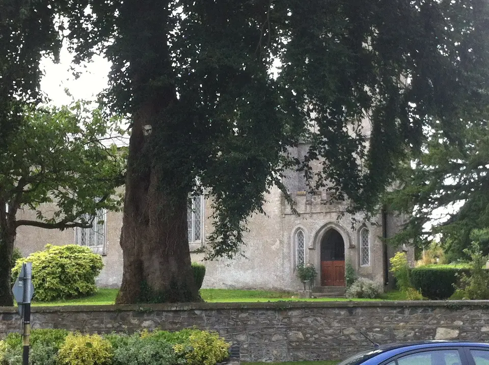

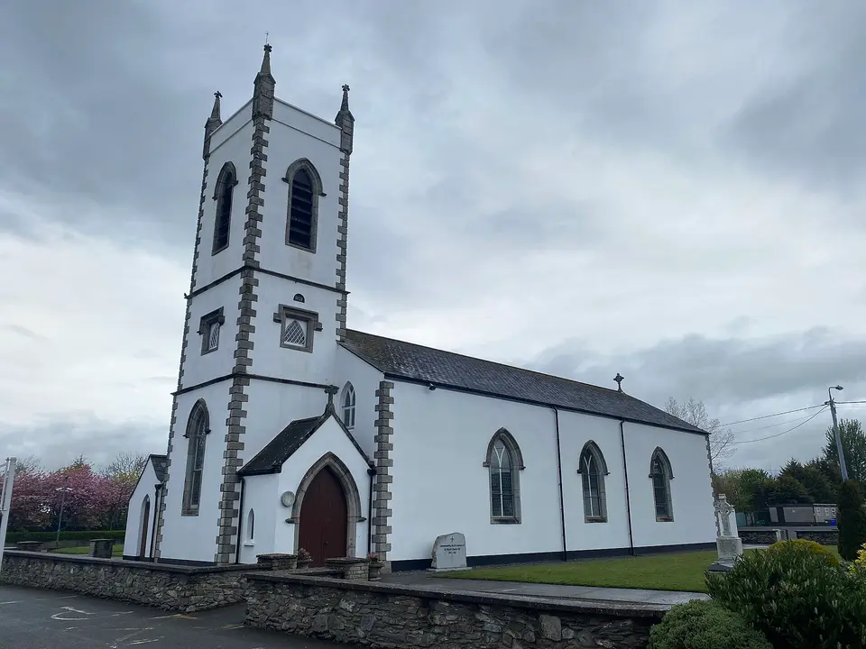

Kill in order
3 of the places on this map carry a date on Wikidata, running from 1350 to 1988. That is not a history of Kill, and it is not written as one: it is the order in which the things still standing were built, which is the part a map can actually tell you.
- 1350Oughterard ChurchHistoric churches · 3.6 km from the centre · national monument of Ireland
- the 1630sJigginstown HouseHistoric houses · 7.4 km from the centre · national monument of Ireland
- 1988The Steam MusemMuseums · 7.1 km from the centre
County Kildare since 1841
Every census of the county, which is the only way to see what happened to rural Ireland: the fall from the Famine runs for a century, and the recovery is recent.
Source: Central Statistics Office, table F1001 'Population at Each Census', read through the PxStat API, read 2026-09-20.
What to see
Closest to the centre first, with how far each one is.
- Kill Hill860 mHills
- St. Bridget's Well1.4 kmHoly wells
- McCullagh's Wood1.5 kmWoods
- McCullagh's Wood1.6 kmWoods
- Black Hill1.9 kmHills
- St. John's Church2.5 kmHistoric churches
- Lock 142.8 kmLakes
- Kerdiffstown Park2.8 kmParks
- Unknown2.8 kmRuins
- Lock 152.8 kmLakes
- 2.9 km
- Furness Church2.9 kmHistoric churches
Getting around
The map records the N7, L2007, L2010, L2020 and L6032 running through Kill. 2 car parks on the map.
8 lines call at 6 stops here. Plan a journey for the day and time you are going.
1 school or college on the map: Kill National School.
Questions people ask
Where is Kill?
How big is Kill?
What is there to see in Kill?
How do you get to Kill?
Has County Kildare grown or shrunk?
Buildings, streets, places, roads and position are OpenStreetMap, counted by this site rather than quoted from anywhere. Population, elevation, area and twinning are structured claims on Wikidata (item Q2084287). County population is the Central Statistics Office. Journeys are the National Transport Authority’s published timetable. Every sentence on this page is written from those numbers; none of it is copied from a description of the place.