Saint John's, Tralee
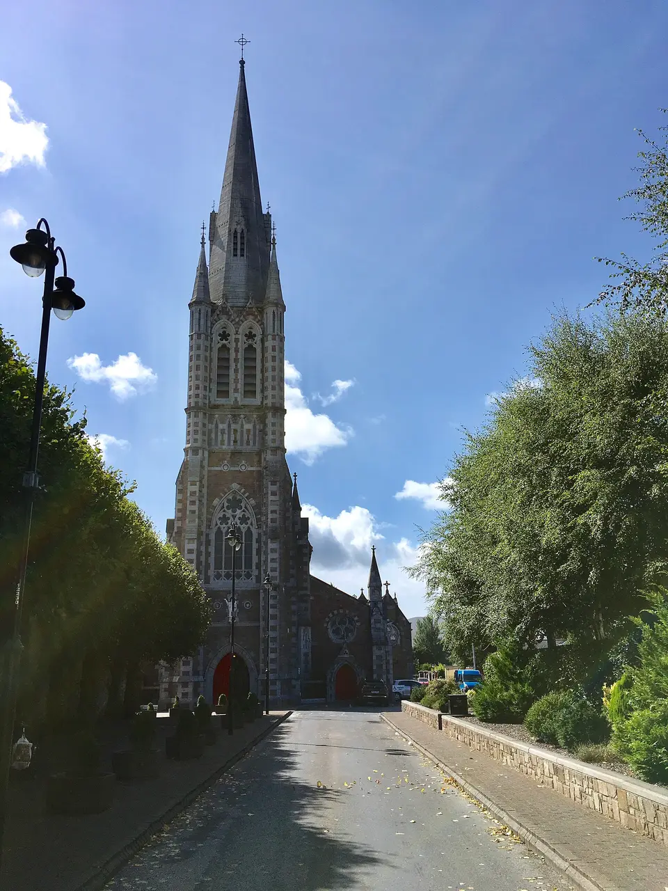
Saint John's is a church in Tralee, County Kerry, 260 m south-east of the centre. Town Park, Garden of the Senses and Presentation Primary School are within 110 m.
Opening hours
Opening hours are not available on this page yet. Check with the business before travelling.
- Kind
- Churches
- From the centre
- 260 m south-east, in a straight line
- Wheelchair
- Recorded as accessibleOne tag covering the whole place. It does not say whether the entrance, the inside, the toilets or the route to the door are step free, and this page will not say so either.
- Parking
- Bank Of Ireland car park, 130 m away
- Bus stop
- The Mall, 250 m away
The map does not yet record a website, opening hours and a phone number for Saint John's. Anyone can add them on OpenStreetMap, and this page picks the change up at the next refresh.

Getting to Saint John's
About these directions
Public transport times come from National Transport Authority. Timetables cover 2026-09-18 to 2027-09-19. These are scheduled services; check with the operator for cancellations and changes before travelling.
Walking and driving times are estimates. A town search starts at its centre; choose your location or a point on the map for a more precise starting point. Eircode search is not available.
How journey planning worksDestination, access and nearby stops
Saint John's is in Tralee, County Kerry. Routes here end at the point the map records for this place. No entrance has been verified, so the last few metres are for you to judge. Bank Of Ireland car park is 130 m away and the map records it as open to the public.
The nearest scheduled stop is Tralee Denny Street (11332), 200 m away in a straight line. Use the planner to check walking connections for your journey.
- Tralee Denny Street 200 m
bus 278Scheduled departures from this stop
- Ashe Street 320 m
buses 290A and 290BScheduled departures from this stop
- The Square 330 m
buses 290A and 290BScheduled departures from this stop
- Tralee Bus Station 420 m
buses 279, 40, 275, 13, 272 and 271 among othersScheduled departures from this stop
- Tralee Casement Station 440 m
train railScheduled departures from this stop
Getting to Tralee covers the journeys into the town itself.
Events nearby
Not at Saint John's. These are at other venues within a few hundred metres of it.
- 15 October to 1 November 2026Free entrySamhain Chiarraí - A Kerry HalloweenKerry County
- 16 October 2026TicketedRory’s Stories: The Good Ol’ DaysSiamsa Tíre - Theatre & Arts Centre
- 16 October to 6 November 2026Free entrySamhain Chiarraí: Fire Rituals6 venues
- 17 to 18 October 2026TicketedThe Cable live at Siamsa TíreSiamsa Tíre - Theatre & Arts Centre
Within a short walk
What else the map names within four hundred metres of Saint John's.
- Town Park10 mParks
- Garden of the Senses70 mGardens
- Presentation Primary School110 mSchools
- Benners Hotel120 mHotels
- The Late Late Barber150 mHairdressers
- Mixor150 mTakeaways
Other churches in Tralee
Nearest to Saint John's first, and the figure beside each one is how far it is from Saint John's, in a straight line. Same point, same measure.
- Church of Saint John the Evangelist390 mChurch Terrace
- Dominican Church440 mGodfrey Place
- The Church of Jesus Christ of Latter-day Saints670 mPembroke Street
- Boherbee Christian Centre770 mBoherbee
- 860 m
- Tralee Mosque: Kerry Islamic Cultural Centre1.3 kmCastlelawn Drive
- Church of the Immaculate Conception, Rathass1.6 kmRatass Roundabout
- Kingdom Hall of Jehovah Witnesses3.0 kmBallybeggan Road
Questions people ask
Where is Saint John's?
What are the opening hours of Saint John's?
How far is Saint John's from the centre of Tralee?
Are there other churches near Saint John's?
How do you get to Saint John's without a car?
Where this comes from
- From the map
- The name, the kind of place, the address where the record carries one, and any website, phone or opening hours shown as recorded on the map are tags on OpenStreetMap way/91818283, and can be corrected there.
- Worked out here
- Every distance, the nearest road where the record has no address, which car park and which stop are nearest, and the order of the lists are this site’s own calculations from those records. Distances are straight lines between two points, not walks along the footpaths, and the map will route the real walk on request. A mistake in any of this is a mistake here rather than on the map.