About Portraine
Portraine, Port Reachrann in Irish, is a village in County Dublin, 19 km north-east of Dublin. It stands on the R126, L2170 and L6169. The map gives it 1,888 buildings and 31 named streets, with 32 places named on them in 31 kinds, and 197 things to see in and around it. By the number of buildings on the map it is the 37th largest of the 50 settlements this site covers in County Dublin.
- Where
- 19 km north-east of Dublin
- Position
- 53.4934° N, 6.1123° W
- Roads
- R126, L2170 and L6169
- Governed
- Dublin County Council, in the province of Leinster
- On the model
- 1,888 buildings, 31 streets, 32 named places in 31 kinds
.jpg)

Portraine in order
3 of the places on this map carry a date on Wikidata, running from 1200 to 2020. That is not a history of Portraine, and it is not written as one: it is the order in which the things still standing were built, which is the part a map can actually tell you.
- 1200Swords CastleCastles · 8.0 km from the centre · national monument of Ireland
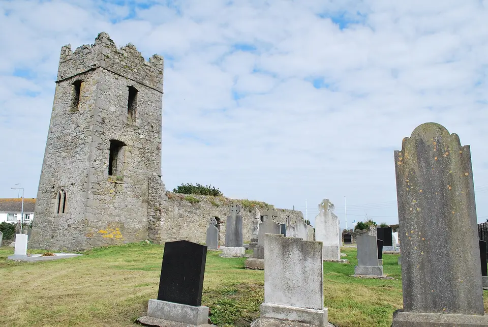
- the fifteenth centuryBaldongan ChurchRuins · 6.7 km from the centre · national monument of Ireland
- 2020Casino Model Railway MuseumMuseums · 5.7 km from the centre
County Dublin since 1841
Every census of the county, which is the only way to see what happened to rural Ireland: the fall from the Famine runs for a century, and the recovery is recent.
Source: Central Statistics Office, table F1001 'Population at Each Census', read through the PxStat API, read 2026-09-20.
What to see
Closest to the centre first, with how far each one is.
- St Catherine's Church60 mHistoric churches
- The Anchor150 mMonuments
- The Farmhouse 1722290 mMonuments
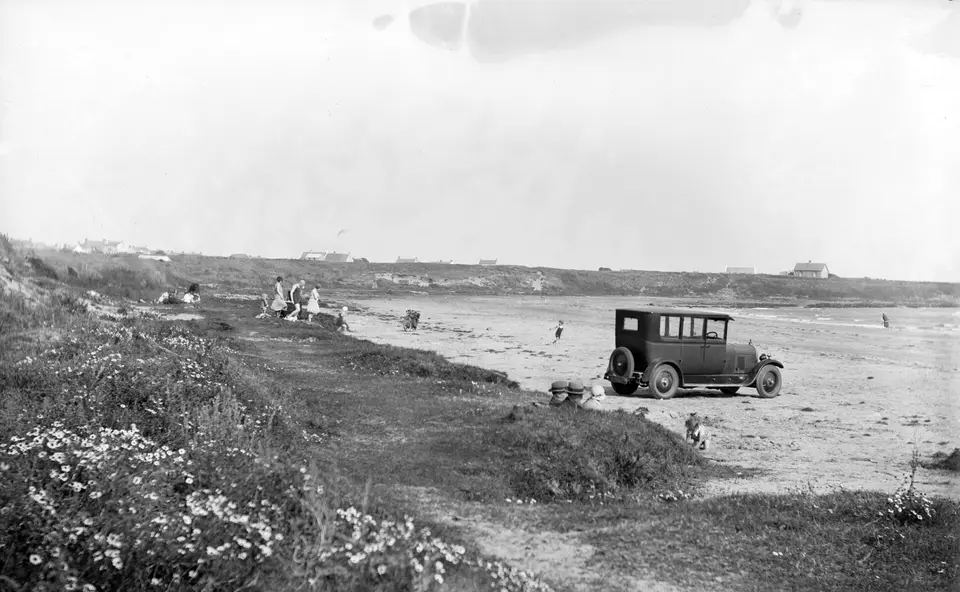
- Portrane Beach350 mBeaches
- John B. Dockrell Ltd450 mWaymarks and guideposts
- Reilly's Hill610 mWoods
- Reilly's Hill840 mWoods
- Tower Bay Beach, Portrane1.0 kmInformation boards
- Tower Bay Beach1.1 kmBeaches
- 1.1 km
- The Paddocks1.9 kmMonuments
- Rush South Beach2.1 kmBeaches
Getting around
The map records the R126, L2170 and L6169 running through Portraine. 4 car parks on the map.
5 lines call at 22 stops here. Plan a journey for the day and time you are going.
The map records no school inside the settlement.
Questions people ask
Where is Portraine?
How big is Portraine?
What is there to see in Portraine?
How do you get to Portraine?
Has County Dublin grown or shrunk?
Buildings, streets, places, roads and position are OpenStreetMap, counted by this site rather than quoted from anywhere. Population, elevation, area and twinning are structured claims on Wikidata. County population is the Central Statistics Office. Journeys are the National Transport Authority’s published timetable. Every sentence on this page is written from those numbers; none of it is copied from a description of the place.