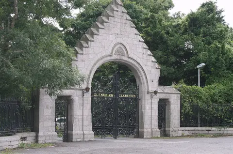
Ballyogan, County Dublin
Things to do in Ballyogan
Find places that fit your time and your plans. 17 of them are in Ballyogan itself and 738 more within twelve kilometres, because the castle outside the village is usually the reason to go to the village.
96 places
Places to explore in pictures
Sarah777 · Public domain. Via Wikimedia Commons. Resized and cropped for display. 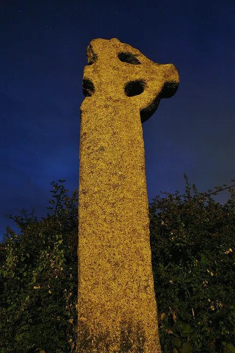
Sydney Oosthuizen · CC BY-SA 4.0. Via Wikimedia Commons. Resized and cropped for display. 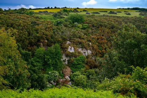
Ridiculopathy · CC BY-SA 4.0. Via Wikimedia Commons. Resized and cropped for display. Ridiculopathy · CC BY-SA 4.0. Via Wikimedia Commons. Resized and cropped for display. 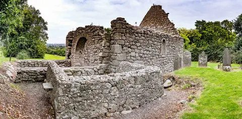
Infomatique · CC BY-SA 4.0. Via Wikimedia Commons. Resized and cropped for display. 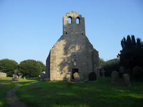
Ianfhunter · CC BY-SA 4.0. Via Wikimedia Commons. Resized and cropped for display. Grange Church (ruins)
3.5 km north-east of Ballyogan · Some of it indoors
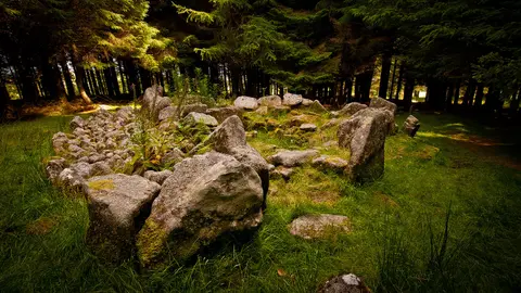
Joe King · CC BY-SA 3.0. Via Wikimedia Commons. Resized and cropped for display. 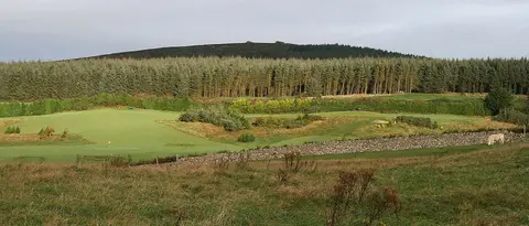
Sarah777 at en.wikipedia · Public domain. Via Wikimedia Commons. Resized and cropped for display. Two Rock Mountain
3.8 km south-west of Ballyogan · Outdoors
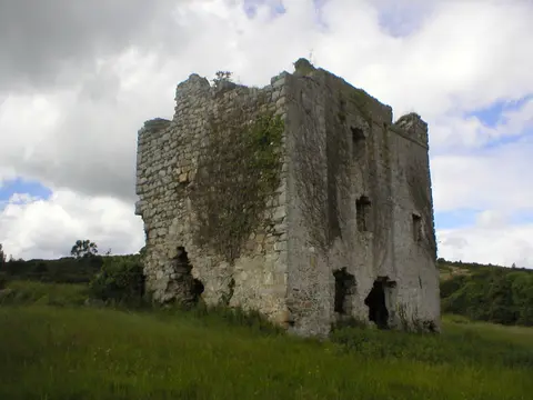
Suckindiesel · CC BY 2.5. Via Wikimedia Commons. Resized and cropped for display. 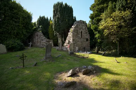
Rob Hurson · CC BY-SA 4.0. Via Wikimedia Commons. Resized and cropped for display. Rathmichael Church Ruin
4.4 km south-east of Ballyogan · Some of it indoors
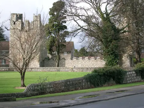
Lord Monkstown (talk) · Public domain. Via Wikimedia Commons. Resized and cropped for display. 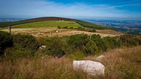
Joe King · CC BY-SA 3.0. Via Wikimedia Commons. Resized and cropped for display. Kilmashogue
4.7 km west of Ballyogan · Outdoors
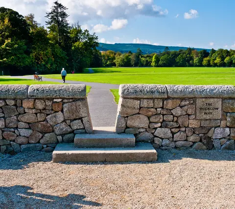
Joe King · CC BY-SA 3.0. Via Wikimedia Commons. Resized and cropped for display. 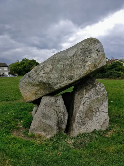
Tim-daniel-elise-barbara · CC BY-SA 4.0. Via Wikimedia Commons. Resized and cropped for display. 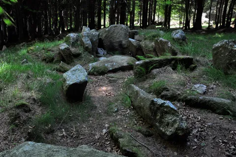
Joe King · CC BY-SA 3.0. Via Wikimedia Commons. Resized and cropped for display. 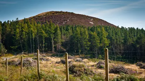
Joe King · CC BY-SA 3.0. Via Wikimedia Commons. Resized and cropped for display. Carrickgollogan Hill
5.3 km south-east of Ballyogan · Outdoors
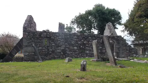
Jayteecarrickmines · CC BY-SA 4.0. Via Wikimedia Commons. Resized and cropped for display. 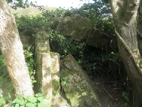
Wanfried-Dublin · CC BY-SA 4.0. Via Wikimedia Commons. Resized and cropped for display. 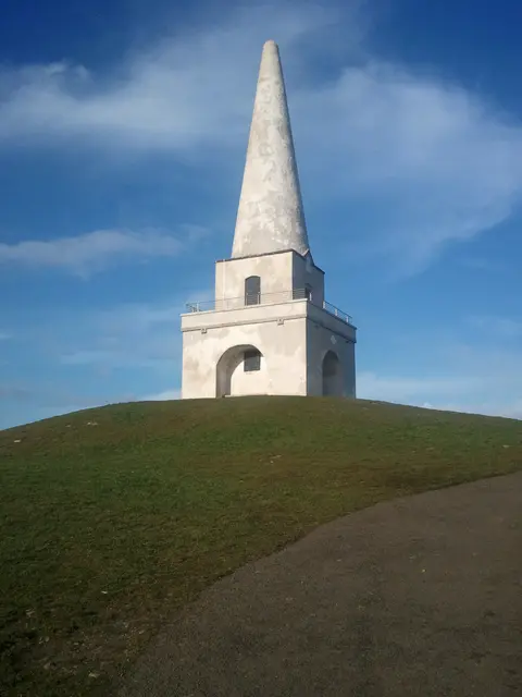
User:Raladic · CC BY 3.0. Via Wikimedia Commons. Resized and cropped for display. Killiney Hill
5.7 km east of Ballyogan · Outdoors
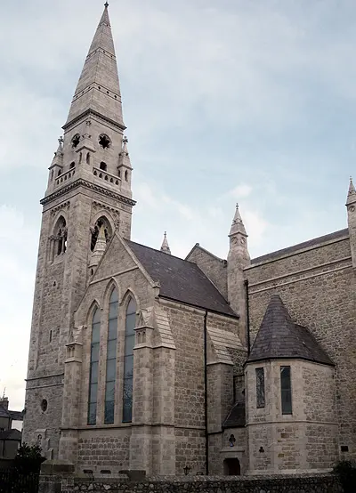
Hohenloh · CC BY-SA 3.0. Via Wikimedia Commons. Resized and cropped for display. 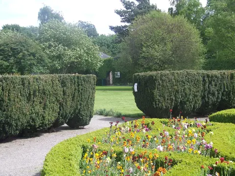
Laurel Lodged · CC BY-SA 4.0. Via Wikimedia Commons. Resized and cropped for display. 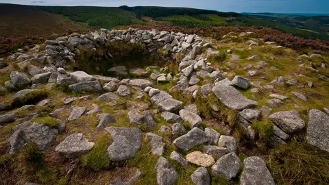
Joe King · CC BY-SA 3.0. Via Wikimedia Commons. Resized and cropped for display. 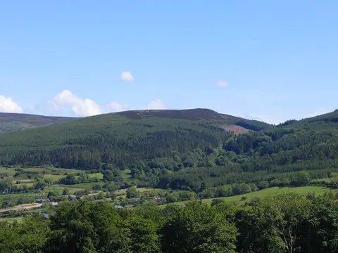
Joe King · CC BY-SA 3.0. Via Wikimedia Commons. Resized and cropped for display. Tibradden Mountain
6 km west of Ballyogan · Outdoors
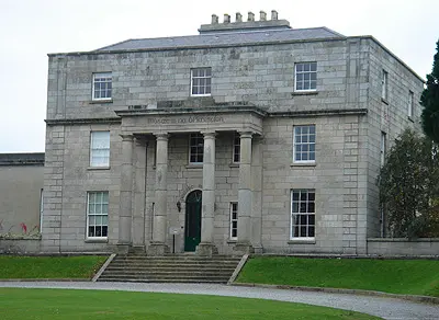
Dave Addey at English Wikipedia · Public domain. Via Wikimedia Commons. Resized and cropped for display. 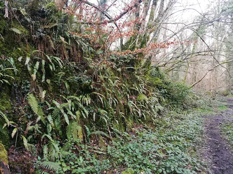
Gaoithe · CC BY-SA 4.0. Via Wikimedia Commons. Resized and cropped for display. 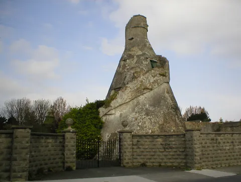
The original uploader was Suckindiesel at English Wikipedia. · CC BY 2.5. Via Wikimedia Commons. Resized and cropped for display. 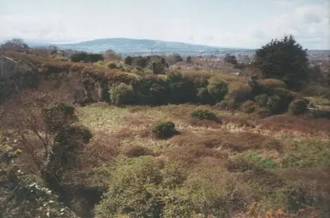
The original uploader was Irishpunktom at English Wikipedia. · CC BY-SA 3.0. Via Wikimedia Commons. Resized and cropped for display. Dalkey Hill
6.3 km east of Ballyogan · Outdoors
Laurel Lodged · CC BY-SA 4.0. Via Wikimedia Commons. Resized and cropped for display. 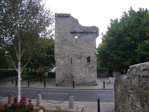
DDoghaus · CC BY-SA 4.0. Via Wikimedia Commons. Resized and cropped for display. 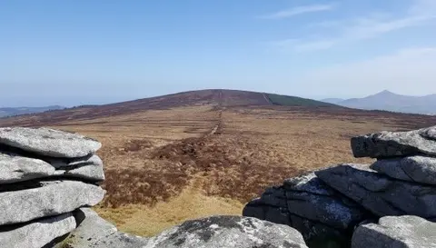
Britishfinance · CC BY-SA 4.0. Via Wikimedia Commons. Resized and cropped for display. Prince William's Seat
6.9 km south-west of Ballyogan · Outdoors
Gaoithe · CC BY-SA 4.0. Via Wikimedia Commons. Resized and cropped for display. 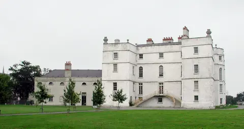
AndrewH at English Wikipedia · Public domain. Via Wikimedia Commons. Resized and cropped for display. 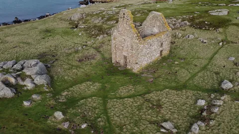
AecioLemos · CC BY-SA 4.0. Via Wikimedia Commons. Resized and cropped for display. Saint Begnet's Church
7.6 km east of Ballyogan · Some of it indoors
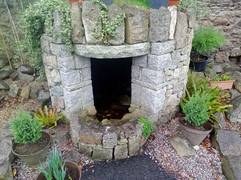
A.-K. D. · CC BY-SA 4.0. Via Wikimedia Commons. Resized and cropped for display. 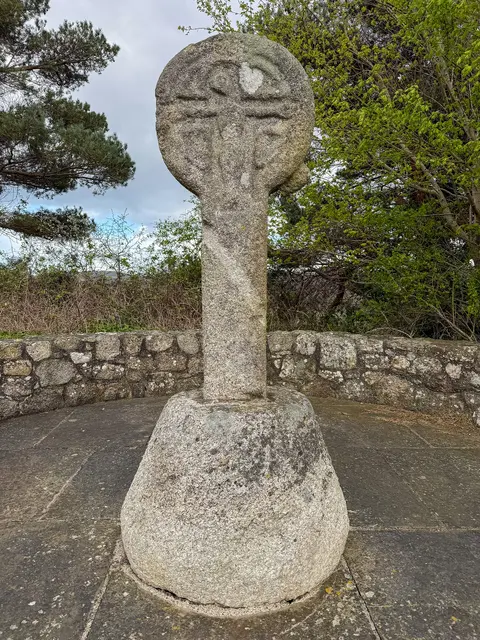
瑞丽江的河水 · CC BY-SA 4.0. Via Wikimedia Commons. Resized and cropped for display. 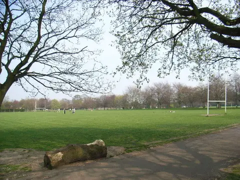
JP · CC BY-SA 2.0. Via Wikimedia Commons. Resized and cropped for display. JP · CC BY-SA 2.0. Via Wikimedia Commons. Resized and cropped for display. 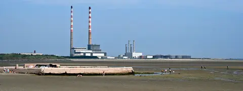
Sarah777 at en.wikipedia · Public domain. Via Wikimedia Commons. Resized and cropped for display. 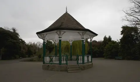
Type17 · CC BY-SA 3.0. Via Wikimedia Commons. Resized and cropped for display. 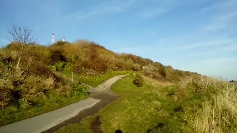
Gallags6 · CC BY-SA 4.0. Via Wikimedia Commons. Resized and cropped for display. Gallags6 · CC BY-SA 4.0. Via Wikimedia Commons. Resized and cropped for display. 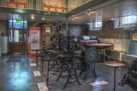
Miguel Mendez from Malahide, Ireland · CC BY 2.0. Via Wikimedia Commons. Resized and cropped for display. 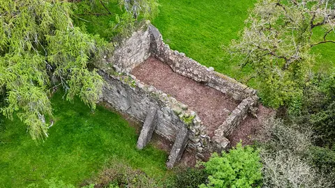
瑞丽江的河水 · CC BY-SA 4.0. Via Wikimedia Commons. Resized and cropped for display. Kilcroney Church
8.9 km south-east of Ballyogan · Some of it indoors
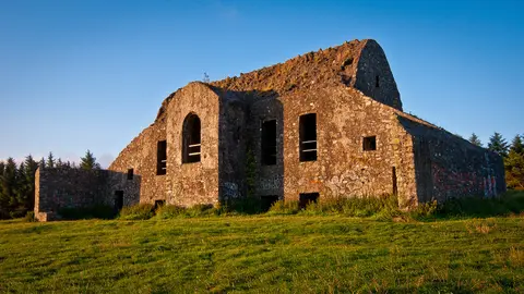
Joe King · CC BY-SA 3.0. Via Wikimedia Commons. Resized and cropped for display. Montpelier Hill
8.9 km west of Ballyogan · Outdoors
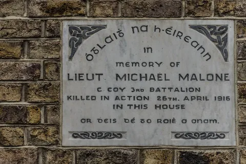
William Murphy from Dublin, Ireland · CC BY-SA 2.0. Via Wikimedia Commons. Resized and cropped for display. 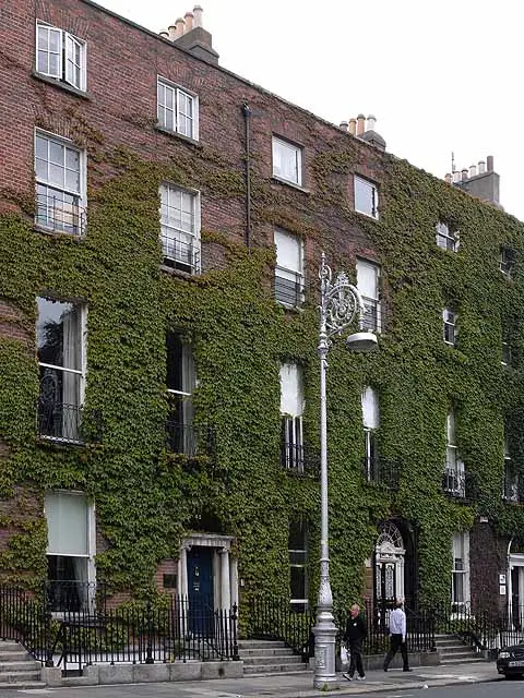
Oliver Dixon · CC BY-SA 2.0. Via Wikimedia Commons. Resized and cropped for display. 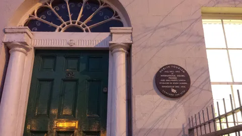
Kinsie84 · CC BY-SA 3.0. Via Wikimedia Commons. Resized and cropped for display. International Tailors, Pressers and Machinists Union
9.5 km north-west of Ballyogan · Outdoors
Usually about 15 min
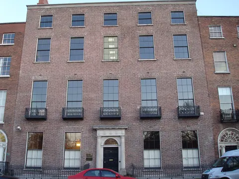
DubhEire · CC0. Via Wikimedia Commons. Resized and cropped for display. 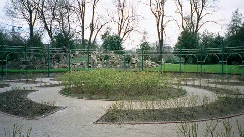
Arbol01 · CC BY-SA 3.0. Via Wikimedia Commons. Resized and cropped for display. 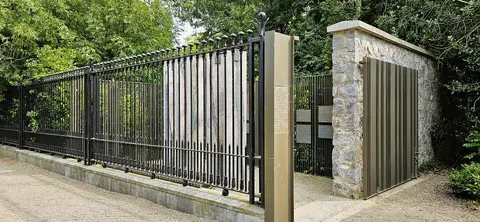
GilPe · CC BY-SA 4.0. Via Wikimedia Commons. Resized and cropped for display. 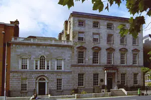
Dilbert55 at English Wikipedia · CC BY-SA 3.0. Via Wikimedia Commons. Resized and cropped for display. 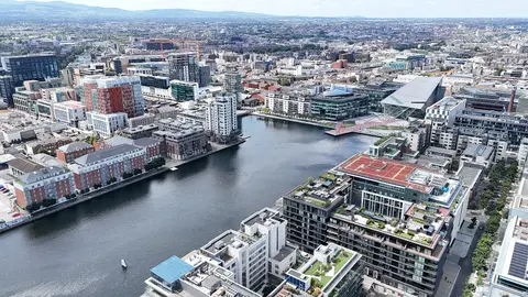
瑞丽江的河水 · CC BY-SA 4.0. Via Wikimedia Commons. Resized and cropped for display. 瑞丽江的河水 · CC BY-SA 4.0. Via Wikimedia Commons. Resized and cropped for display. 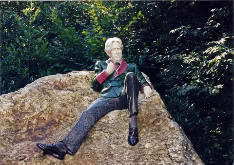
Rodhullandemu · CC BY-SA 4.0. Via Wikimedia Commons. Resized and cropped for display. 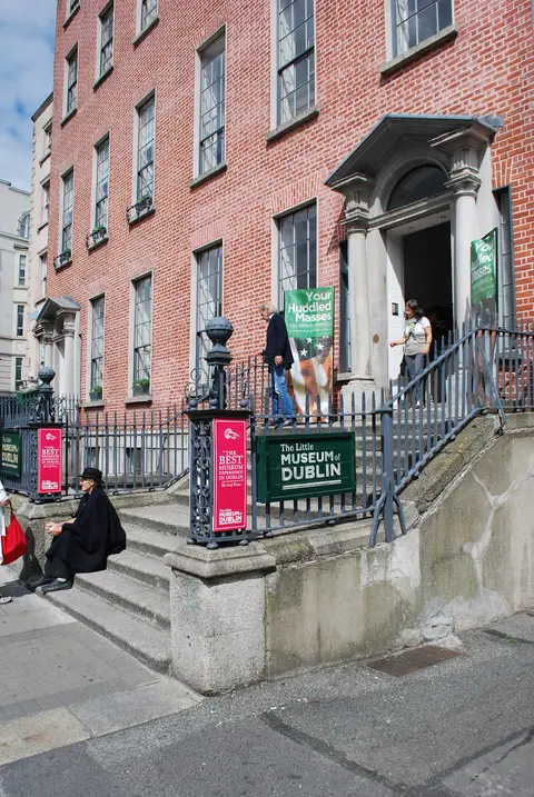
Jean Housen · CC BY-SA 3.0. Via Wikimedia Commons. Resized and cropped for display. 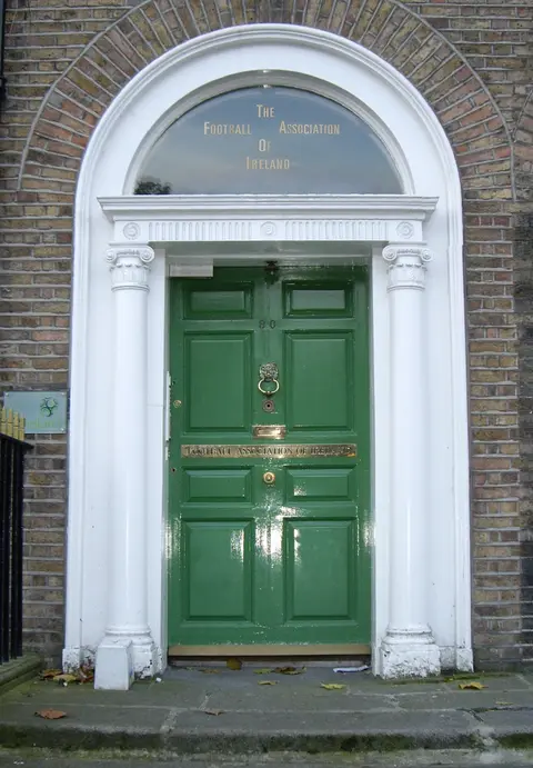
No machine-readable author provided. Jnestorius assumed (based on copyright claims). · Public domain. Via Wikimedia Commons. Resized and cropped for display. 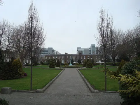
DubhEire · CC0. Via Wikimedia Commons. Resized and cropped for display. 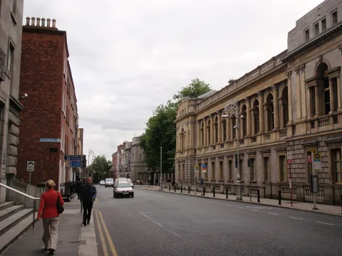
XeresNelro · CC BY-SA 4.0. Via Wikimedia Commons. Resized and cropped for display. 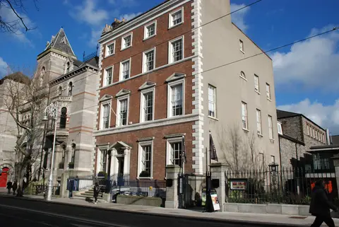
KarenRIA · CC BY-SA 4.0. Via Wikimedia Commons. Resized and cropped for display. 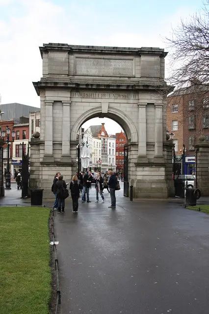
Richard Croft · CC BY-SA 2.0. Via Wikimedia Commons. Resized and cropped for display. 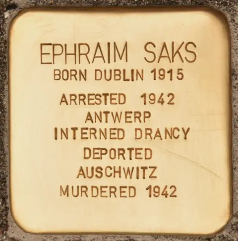
Christian Michelides · CC BY-SA 4.0. Via Wikimedia Commons. Resized and cropped for display. 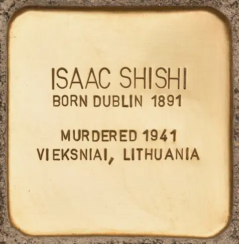
Christian Michelides · CC BY-SA 4.0. Via Wikimedia Commons. Resized and cropped for display. 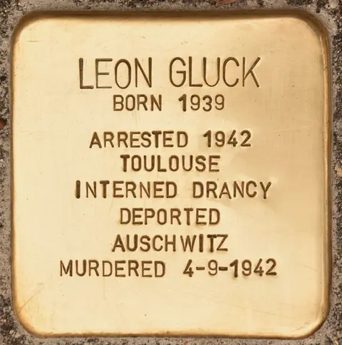
Christian Michelides · CC BY-SA 4.0. Via Wikimedia Commons. Resized and cropped for display. 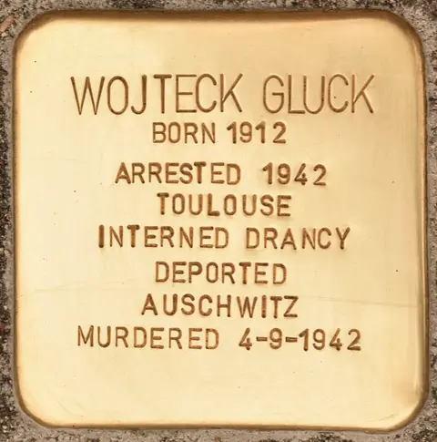
Christian Michelides · CC BY-SA 4.0. Via Wikimedia Commons. Resized and cropped for display. 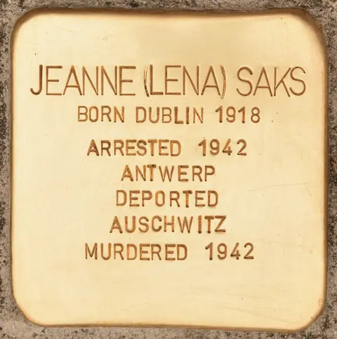
Christian Michelides · CC BY-SA 4.0. Via Wikimedia Commons. Resized and cropped for display. 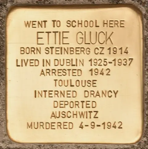
Christian Michelides · CC BY-SA 4.0. Via Wikimedia Commons. Resized and cropped for display. 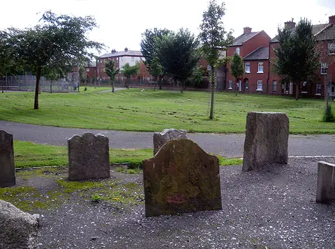
Photograph taken by me, August 2010 · CC0. Via Wikimedia Commons. Resized and cropped for display. 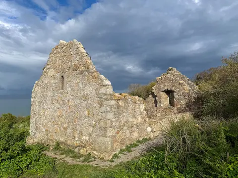
瑞丽江的河水 · CC BY-SA 4.0. Via Wikimedia Commons. Resized and cropped for display. Raheen-a-Cluig
10.1 km south-east of Ballyogan · Some of it indoors
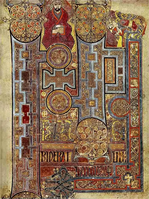
Unknown authorUnknown author · Public domain. Via Wikimedia Commons. Resized and cropped for display. 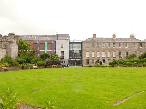
Aligatorek · CC BY-SA 3.0. Via Wikimedia Commons. Resized and cropped for display. 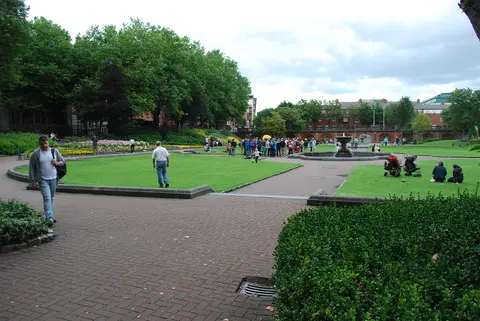
Jean Housen · CC BY-SA 3.0. Via Wikimedia Commons. Resized and cropped for display. 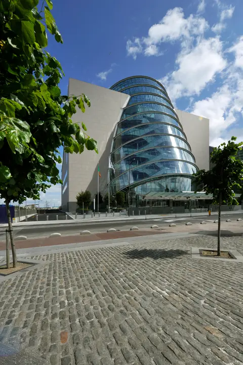
Phedra · CC0. Via Wikimedia Commons. Resized and cropped for display. 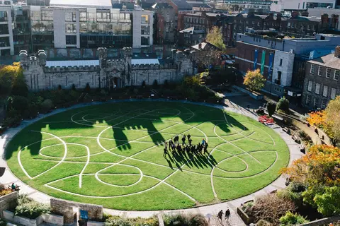
Digital Eye · CC BY-SA 4.0. Via Wikimedia Commons. Resized and cropped for display. 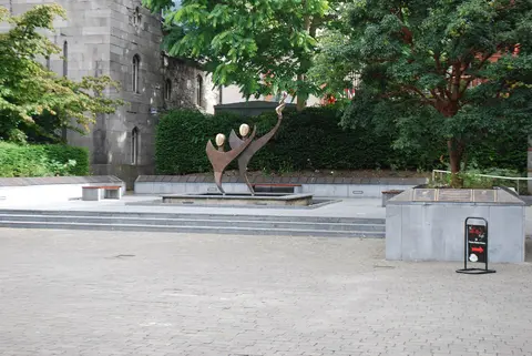
Jean Housen · CC BY-SA 3.0. Via Wikimedia Commons. Resized and cropped for display. 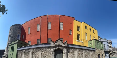
ESC0601 · CC BY 4.0. Via Wikimedia Commons. Resized and cropped for display. 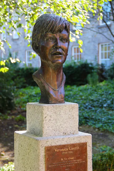
J.-H. Janßen · CC0. Via Wikimedia Commons. Resized and cropped for display. 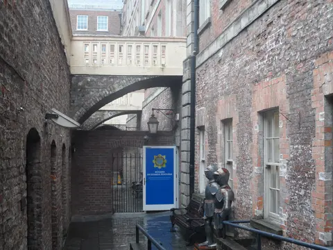
Sheila1988 · CC0. Via Wikimedia Commons. Resized and cropped for display. 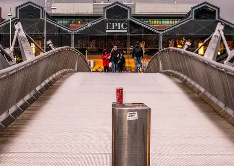
William Murphy · CC BY-SA 2.0. Via Wikimedia Commons. Resized and cropped for display. 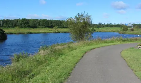
jwd · CC BY-SA 2.0. Via Wikimedia Commons. Resized and cropped for display. 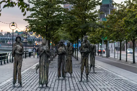
AlBa344 · CC BY-SA 4.0. Via Wikimedia Commons. Resized and cropped for display. 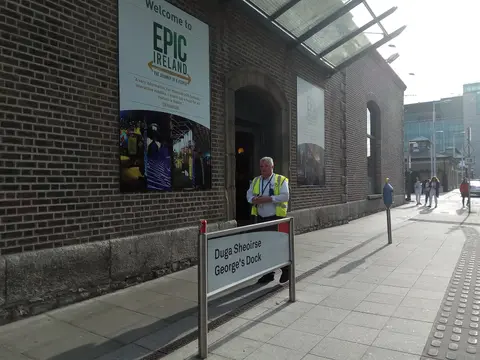
Exilexi · CC0. Via Wikimedia Commons. Resized and cropped for display. 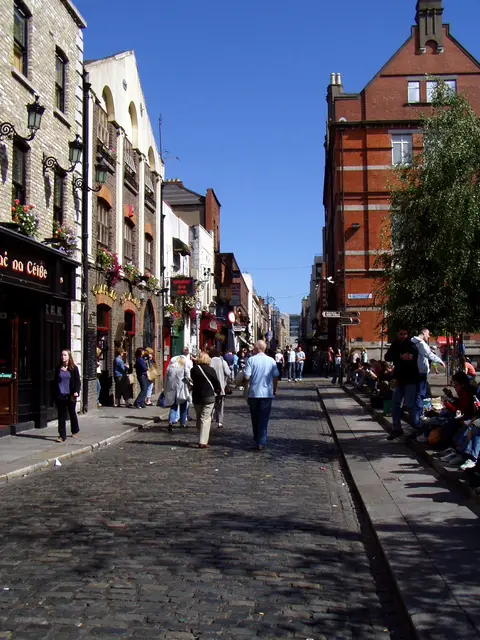
Unknown photographer · Public domain. Via Wikimedia Commons. Resized and cropped for display. 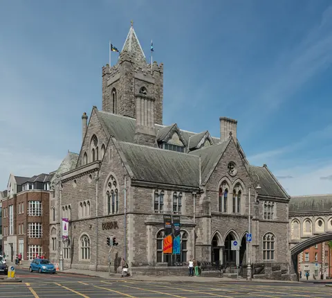
DXR · CC BY-SA 4.0. Via Wikimedia Commons. Resized and cropped for display. 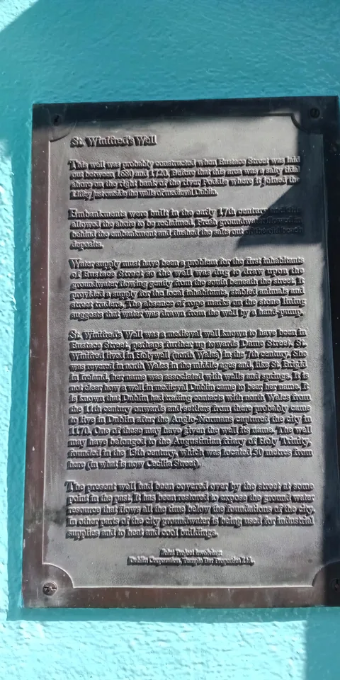
A.-K. D. · CC BY-SA 4.0. Via Wikimedia Commons. Resized and cropped for display. Unknown photographer · Public domain. Via Wikimedia Commons. Resized and cropped for display. 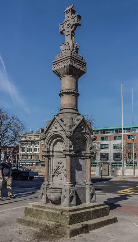
William Murphy · CC BY-SA 2.0. Via Wikimedia Commons. Resized and cropped for display. 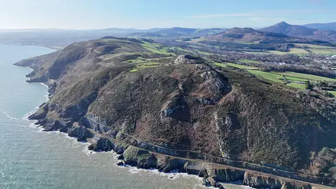
瑞丽江的河水 · CC BY-SA 4.0. Via Wikimedia Commons. Resized and cropped for display. Bray Head
10.7 km south-east of Ballyogan · Outdoors
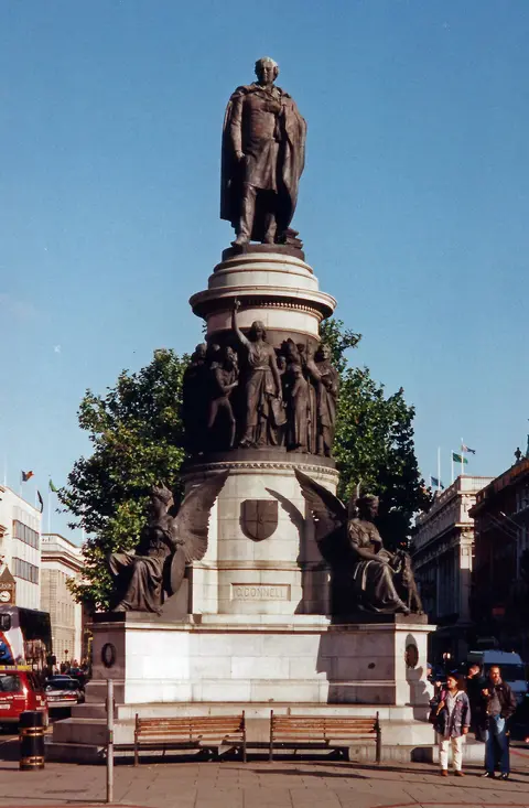
Rodhullandemu · CC BY-SA 4.0. Via Wikimedia Commons. Resized and cropped for display. 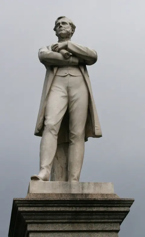
Sir James · CC BY 3.0. Via Wikimedia Commons. Resized and cropped for display. 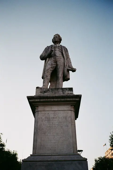
Stewie121 · CC BY-SA 4.0. Via Wikimedia Commons. Resized and cropped for display. 
A23YMCA · CC BY-SA 4.0. Via Wikimedia Commons. Resized and cropped for display. 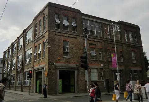
YvonneM · CC BY-SA 3.0. Via Wikimedia Commons. Resized and cropped for display. 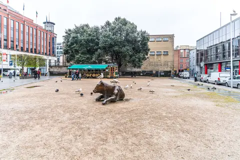
William Murphy from Dublin, Ireland · CC BY-SA 2.0. Via Wikimedia Commons. Resized and cropped for display. 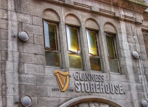
psyberartist · CC BY 2.0. Via Wikimedia Commons. Resized and cropped for display. 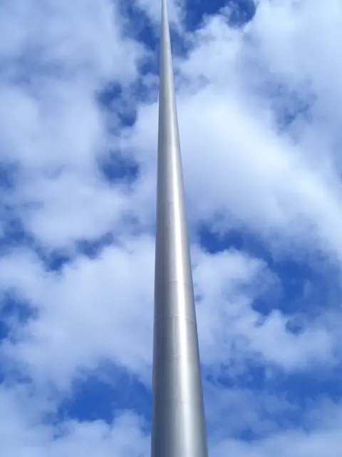
Photograph by Mike Peel (www.mikepeel.net). · CC BY-SA 4.0. Via Wikimedia Commons. Resized and cropped for display. 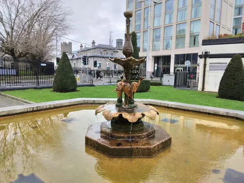
Ridiculopathy · CC BY-SA 4.0. Via Wikimedia Commons. Resized and cropped for display.


_REF-1085635.jpg)


.jpg)


_REF-105756_(18975301622).jpg)


.jpg)


.jpg)
.jpg)
.jpg)
.jpg)
.jpg)
.jpg)


.jpg)


,_M50_in_background_(geograph_3545710).jpg)
_-_20180824203248.jpg)


REF-103864.jpg)


_(Jackie_McKenna).jpg)
.jpg)


Showing 96 of 755 places, with photographs first. Every kind of place in Ballyogan lists the rest.
17
in Ballyogan
738
within 12 km
85
outdoors
29
indoors
40
for children
Put a day together
A day on foot in Ballyogan: 8 stops the map records, joined in the shortest order that walks them all, 10.7 km in total.
By kind
While you are there
18 places to eat and 0 places to stay on the map in Ballyogan, and 11 bus and train lines calling here.
Questions people ask
What is there to do in Ballyogan?
17 places inside Ballyogan and 738 more within twelve kilometres, mostly monuments, parks and attractions.
How is indoors or outdoors decided?
By what kind of place each one is: a museum is indoors, a park is not, a castle is some of each. OpenStreetMap carries an indoor tag on about one visitor place in three hundred, so a filter built on the tag would hide almost everything. This is a rule about kinds of place, not a claim about any one of them.
Does with kids mean it is suitable for my child?
No. It means the kind of place children generally do: playgrounds, beaches, parks, zoos, museums. The map records an age limit on a handful of places in the country, so nothing here claims a place suits a particular age.
What does it cost, and when is it open?
This page does not say. OpenStreetMap records a fee on about one visitor place in sixty and opening hours on one in fifty, so stating either would mean guessing for almost everything. Each place's own page shows what the map does hold and links to the operator.
How do you get to Ballyogan?
11 bus and train lines call at a stop in Ballyogan in the published timetable, run by Aircoach, Bus Átha Cliath – Dublin Bus and Go-Ahead Ireland. Which of them runs on the day you are going, and how long it takes from where you are starting, is worked out on the Getting to Ballyogan page.
Places are OpenStreetMap records and each links to the one it came from. Indoors, outdoors and with kids are worked out from what kind of place a thing is, not from tags on it, because the tags exist on almost none of them. Visit lengths are a default for each kind. Distances are straight lines from the centre of Ballyogan.