Goleen, County Cork
Things to do in Goleen
Find places that fit your time and your plans. 1 of them is in Goleen itself and 60 more within twelve kilometres, because the castle outside the village is usually the reason to go to the village.
61 places
Places to explore in pictures
Minseach · CC BY-SA 4.0. Via Wikimedia Commons. Resized and cropped for display. 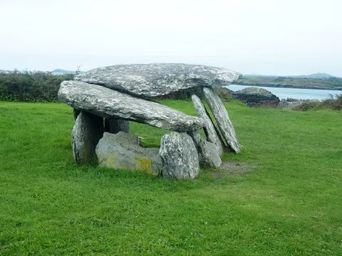
D.Camier · CC BY-SA 4.0. Via Wikimedia Commons. Resized and cropped for display. 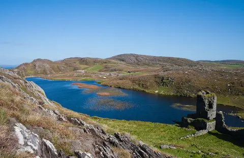
Andreas F. Borchert · CC BY-SA 4.0. Via Wikimedia Commons. Resized and cropped for display. 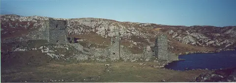
Dunlough · Public domain. Via Wikimedia Commons. Resized and cropped for display. 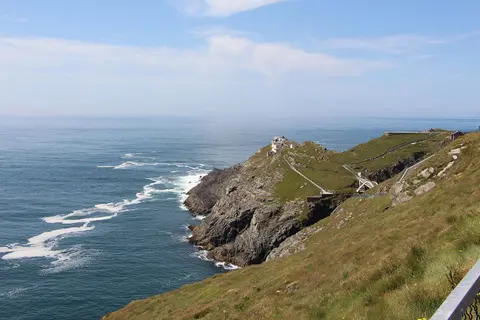
Ent-ente · CC BY-SA 3.0. Via Wikimedia Commons. Resized and cropped for display. 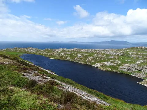
Matthew Chadwick · CC BY-SA 2.0. Via Wikimedia Commons. Resized and cropped for display. 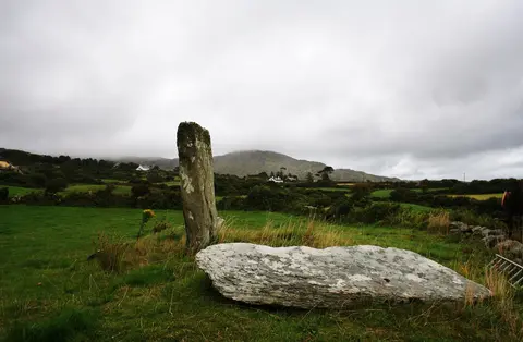
Andrew Wood · CC BY-SA 2.0. Via Wikimedia Commons. Resized and cropped for display.


More places to explore
- LakesKnocknagearagh Lough1.6 km from the centreOutdoors · About 30 min
- LakesDunkelly Lough2.5 km north of GoleenOutdoors · About 30 min
- HillsKnocknamaddree2.7 km north-west of GoleenOutdoors
- HillsKnockaphuca2.7 km north-east of GoleenOutdoors
- HillsKnockboy3.6 km west of GoleenOutdoors
- WoodsBallyrisode Wood3.6 km north-east of GoleenOutdoors · About 40 min
- Holy wellsToberulla3.8 km south-west of GoleenOutdoors · About 15 min
- WoodsBallyrisode Wood3.8 km north-east of GoleenOutdoors · About 40 min
- BeachesGalley Cove Beach4.4 km south-west of GoleenOutdoors · About 1 hr
- ViewpointsAltar5.1 km north-east of GoleenOutdoors · About 20 min
- BeachesChimney Cove5.2 km south-west of GoleenOutdoors · About 1 hr
- BeachesBarley Cove5.4 km south-west of GoleenOutdoors · About 1 hr
- AttractionsBarley Cove5.5 km south-west of GoleenSome of it indoors · About 45 min
- RuinsBrow Head Signal Tower5.6 km south-west of GoleenOutdoors · About 20 min
- CastlesO'Mahony Castle5.9 km north-east of GoleenSome of it indoors · About 45 min
- Ringforts and sitesBoulder Burial6.6 km north-east of GoleenOutdoors · About 20 min
- Ringforts and sitesCarriganine Cromlech6.7 km north-east of GoleenOutdoors · About 20 min
- HillsMizen Peak7.6 km south-west of GoleenOutdoors
- MonumentsDrowning in Dunmanus Bay7.9 km north-west of GoleenOutdoors · About 15 min
- Ringforts and sitesChildren's Burial Site8.2 km east of GoleenOutdoors · About 20 min
- MonumentsIrada8.4 km south-west of GoleenOutdoors · About 15 min
- RuinsCloghane Signal Tower8.4 km south-west of GoleenOutdoors · About 20 min
- Ringforts and sitesRalahid8.4 km east of GoleenOutdoors · About 20 min
- AttractionsMizen Head Visitors Centre8.5 km south-west of GoleenSome of it indoors · About 45 min
- LakesSron Lough8.6 km north-west of GoleenOutdoors · About 30 min
- LakesLough Nawholeburn8.6 km north-west of GoleenOutdoors · About 30 min
- MonumentsFastnet Lighthouse Centenary Stone-Course8.7 km south-west of GoleenOutdoors · About 15 min
- LakesLaharandota Lough8.7 km north-west of GoleenOutdoors · About 30 min
- LakesLissacaha Lough8.7 km north-east of GoleenOutdoors · About 30 min
- AttractionsMizen Head Bridge8.8 km south-west of GoleenSome of it indoors · About 45 min
- LakesFarranlion Lough8.8 km north of GoleenOutdoors · About 30 min
- Historic churchesOld Kilcrohane Church9 km north of GoleenSome of it indoors
- MonumentsNora Dalton9 km north of GoleenOutdoors · About 15 min
- RuinsBallyroon Mountain Signal Tower9.2 km north-west of GoleenOutdoors · About 20 min
- Ringforts and sitestwo standing stones9.2 km north of GoleenOutdoors · About 20 min
- PlaygroundsKilcrohane Community Playground9.3 km north of GoleenOutdoors · About 45 min
- HillsBallyroon Mountain9.4 km north-west of GoleenOutdoors
- LakesDoo Lough9.4 km north-west of GoleenOutdoors · About 30 min
- HillsPeakeen9.7 km north of GoleenOutdoors
- LakesFarranamanagh Lough9.7 km north of GoleenOutdoors · About 30 min
- MonumentsRoland9.8 km north-west of GoleenOutdoors · About 15 min
- HillsCaher Mountain9.9 km north of GoleenOutdoors
- RuinsKilcrohane Fort10 km north of GoleenOutdoors · About 20 min
- ViewpointsLough Akeen Lake View10.2 km north-west of GoleenOutdoors · About 20 min
- ShrinesOur Lady of the Wayside10.2 km north-west of GoleenOutdoors
- Holy wellsWell of the poets10.4 km north of GoleenOutdoors · About 15 min
- MonumentsMegalithic Tomb10.6 km north of GoleenOutdoors · About 15 min
- ViewpointsSeefin11.1 km north of GoleenOutdoors · About 20 min
- ViewpointsFinn McCool's Seat11.2 km north of GoleenOutdoors · About 20 min
- ViewpointsSailor's Hill11.3 km east of GoleenOutdoors · About 20 min
- HillsSeefin11.5 km north of GoleenOutdoors
- RuinsSt. Mary’s church11.7 km east of GoleenOutdoors · About 20 min
- HillsKnockaughna11.7 km north-east of GoleenOutdoors
- HillsRosskerrig Mountain12 km north of GoleenOutdoors
1
in Goleen
60
within 12 km
61
outdoors
6
indoors
6
for children
By kind
While you are there
1 place to eat and 1 place to stay on the map in Goleen, and 2 bus and train lines calling here.
Questions people ask
What is there to do in Goleen?
1 place inside Goleen and 60 more within twelve kilometres, mostly lakes, hills and monuments.
How is indoors or outdoors decided?
By what kind of place each one is: a museum is indoors, a park is not, a castle is some of each. OpenStreetMap carries an indoor tag on about one visitor place in three hundred, so a filter built on the tag would hide almost everything. This is a rule about kinds of place, not a claim about any one of them.
Does with kids mean it is suitable for my child?
No. It means the kind of place children generally do: playgrounds, beaches, parks, zoos, museums. The map records an age limit on a handful of places in the country, so nothing here claims a place suits a particular age.
What does it cost, and when is it open?
This page does not say. OpenStreetMap records a fee on about one visitor place in sixty and opening hours on one in fifty, so stating either would mean guessing for almost everything. Each place's own page shows what the map does hold and links to the operator.
How do you get to Goleen?
2 bus and train lines call at a stop in Goleen in the published timetable, run by Bus Éireann and TFI Local Link Cork. Which of them runs on the day you are going, and how long it takes from where you are starting, is worked out on the Getting to Goleen page.
Places are OpenStreetMap records and each links to the one it came from. Indoors, outdoors and with kids are worked out from what kind of place a thing is, not from tags on it, because the tags exist on almost none of them. Visit lengths are a default for each kind. Distances are straight lines from the centre of Goleen.