About Bellananagh
Bellananagh, Béal Átha na nEach in Irish, is a village in County Cavan, 100 km north-west of Dublin, with 1,358 people at the 2011 census. It stands on the N55, R154 and L2503. The map gives it 1,157 buildings and 38 named streets, with 48 places named on them in 38 kinds, and 294 things to see in and around it. By the number of buildings on the map it is the 10th largest of the 39 settlements this site covers in County Cavan.
- Population
- 1,358 at the 2011 census
- Where
- 100 km north-west of Dublin
- Position
- 53.9319° N, 7.4079° W
- Roads
- N55, R154, L2503 and L6569
- Governed
- Cavan County Council, in the province of Ulster
- On the model
- 1,157 buildings, 38 streets, 48 named places in 38 kinds


County Cavan since 1841
Every census of the county, which is the only way to see what happened to rural Ireland: the fall from the Famine runs for a century, and the recovery is recent.
Source: Central Statistics Office, table F1001 'Population at Each Census', read through the PxStat API, read 2026-09-20.
What to see
Closest to the centre first, with how far each one is.
- Ballinagh Community Garden330 mGardens
- 330 m
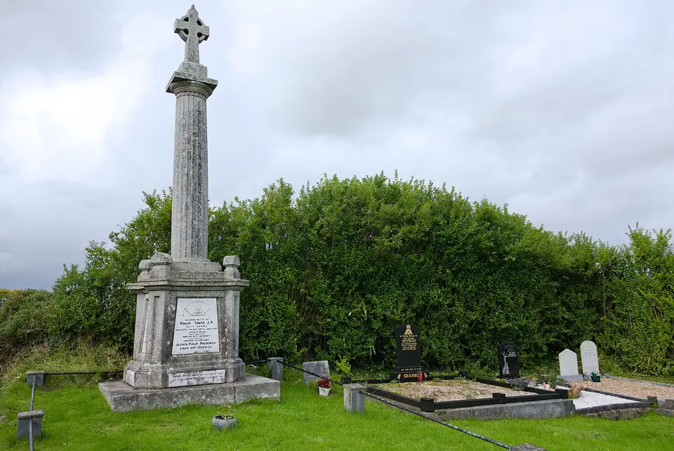
- Captain Thomas Sheridan IRA1.3 kmMonuments
- Fleming's Folly1.6 kmInformation boards
- Pottahee1.9 kmHills
- Fleming's Folly1.9 kmInformation boards
- Kilmainham1.9 kmHills
- Bellville2.0 kmHills
- Drumheel2.2 kmHills
- Broomhill2.4 kmWoods
- Cornaseer Lough2.5 kmLakes
- Corrakane Lough2.6 kmLakes
Getting around
The map records the N55, R154, L2503 and L6569 running through Bellananagh.
6 lines call at 4 stops here. Plan a journey for the day and time you are going.
1 school or college on the map: Ballinagh National School.
Questions people ask
Where is Bellananagh?
How big is Bellananagh?
What is there to see in Bellananagh?
How do you get to Bellananagh?
Has County Cavan grown or shrunk?
Buildings, streets, places, roads and position are OpenStreetMap, counted by this site rather than quoted from anywhere. Population, elevation, area and twinning are structured claims on Wikidata (item Q252060). County population is the Central Statistics Office. Journeys are the National Transport Authority’s published timetable. Every sentence on this page is written from those numbers; none of it is copied from a description of the place.